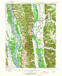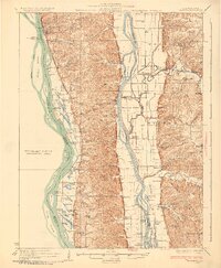
1930 Map of Hardin
USGS Topo · Published 1930About this map
Hardin sits at the narrowest point of the peninsula between the Illinois-River and the Mississippi River, anchoring a landscape defined by seasonal sloughs and river landings. In the late 1920s, this region was a network of small school districts and landing points like Burr Oak Ldg and Gilead Ldg, reflecting a river-oriented economy before the widespread modernization of upland transit. The interior is dotted with local landmarks such as Poor Farm and the Gilead Gun Club, while numerous country schools like Pecan Grove Sch and De Gerlia Sch served the scattered agricultural communities of Batchtown and Hamburg.
Find a feature on this map
124 named features on this map. Tap any name to fly to it.
Don’t see what you’re looking for? This feature index may not catch every label — zoom into the map to look around manually.
Map Details
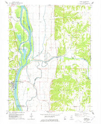
Editions of this 1930 Hardin Map
2 editions found

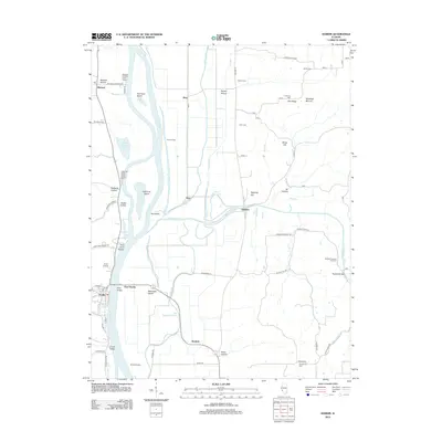
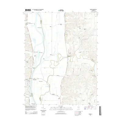
Historical Maps of Hardin Through Time
9 maps found