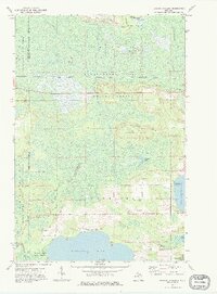
1972 Map of Hardwood Island
USGS Topo · Published 1975About this map
The Soo Line railroad cuts a straight path across the Upper Peninsula's forested interior in this early 1970s survey of the border between Luce and Schoolcraft counties. This landscape is defined by its complex hydrology, where the East Branch Tahquamenon River and several smaller creeks wind through the Tahquamenon State Forest. To the south, the shoreline of Manistique Lake and North Manistique Lake provides a focal point for local activity, including the landing at Carpenter Landing and the West Lakefield Cem. The terrain reveals a transition from the open Danaher Plains in the north to the glacial features like Hardwood Island, which rises above the surrounding wetlands. This map documents a period when logging and gravel extraction, evidenced by various Gravel Pits, operated alongside the region's expanding recreational and state forest lands.
Find a feature on this map
26 named features on this map. Tap any name to fly to it.
Don’t see what you’re looking for? This feature index may not catch every label — zoom into the map to look around manually.
Map Details
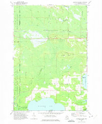
Editions of this 1972 Hardwood Island Map
2 editions found
Other maps of this area

1931 · Seney SW
USGS Topo · 1:31,680

1931 · Seney NW
USGS Topo · 1:31,680

1931 · Gould City NW
USGS Topo · 1:31,680

1931 · Seney SE
USGS Topo · 1:31,680

1931 · Blaney NE
USGS Topo · 1:31,680

1931 · Blaney NW
USGS Topo · 1:31,680

1954 · Sault Sainte Marie
USGS Topo · 1:250,000

1956 · Sault Sainte Marie
USGS Topo · 1:250,000

1957 · Sault Sainte Marie
USGS Topo · 1:250,000

1958 · Sault Sainte Marie
USGS Topo · 1:250,000