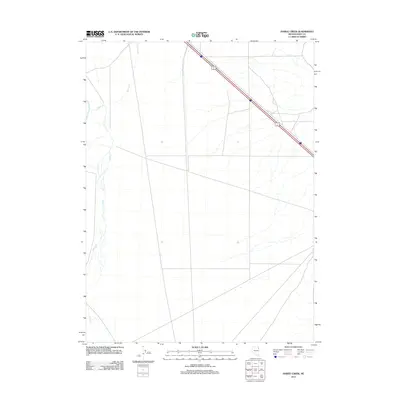
2012 Map of Hardy Creek
USGS Topo · Published 2012About this map
Hardy Creek meanders through this portion of Elko County, defining a landscape shaped by intermittent watercourses and the high desert climate of northeast Nevada. The drainage of Nanny Creek enters from the north, illustrating the complex hydrology of this basin-and-range environment before the water is lost to the arid terrain. Human impact on this remote area is primarily represented by the corridor of Alternate U.S. Route 93, which cuts diagonally across the northeastern corner. This roadway serves as a critical transportation link through the vast open spaces between regional hubs, while the surrounding grid suggests a landscape largely managed for ranching or left to its natural state. The map provides a precise record of the physical geography and minor drainage patterns that have dictated movement and land use in this part of the Great Basin for decades.
Find a feature on this map
4 named features on this map. Tap any name to fly to it.
Don’t see what you’re looking for? This feature index may not catch every label — zoom into the map to look around manually.
Map Details
Editions of this 2012 Hardy Creek Map
This is the sole edition of this map. No revisions or reprints were ever made.
Other maps of this area

1955 · Wells
USGS Topo · 1:250,000

1955 · Elko
USGS Topo · 1:250,000

1958 · Wells
USGS Topo · 1:250,000

1958 · Elko
USGS Topo · 1:250,000

1961 · Wells
USGS Topo · 1:250,000

1962 · Elko
USGS Topo · 1:250,000

1965 · Elko
USGS Topo · 1:250,000

1967 · Cobre SE
USGS Topo · 1:24,000

1967 · Cobre
USGS Topo · 1:24,000

1968 · Independence Valley NE
USGS Topo · 1:24,000