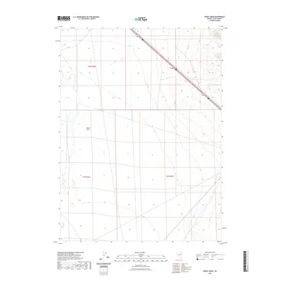
2021 Map of Hardy Creek
USGS Topo · Published 2021About this map
Goshute Valley dominates this high-desert landscape in Elko County, where the topography transitions from flat basin floors to rising upland slopes. This 2021 study documents a critical transportation corridor in northeastern Nevada, where the major thoroughfares of Interstate 80 and Alternate US 93 intersect. The map illustrates the drainage patterns typical of this arid region, most notably the seasonal courses of Hardy Cr and Nanny Cr. These ephemeral waterways and the surrounding terrain are mapped with precision, showing the cadastral grid of townships including t36n r66e and t35n r67e. The map serves as a detailed record of the physical and infrastructural state of this remote valley, capturing the essential geography of the Great Basin's travel routes.
Find a feature on this map
9 named features on this map. Tap any name to fly to it.
Don’t see what you’re looking for? This feature index may not catch every label — zoom into the map to look around manually.
Map Details
Editions of this 2021 Hardy Creek Map
This is the sole edition of this map. No revisions or reprints were ever made.
Other maps of this area

1955 · Wells
USGS Topo · 1:250,000

1955 · Elko
USGS Topo · 1:250,000

1958 · Wells
USGS Topo · 1:250,000

1958 · Elko
USGS Topo · 1:250,000

1961 · Wells
USGS Topo · 1:250,000

1962 · Elko
USGS Topo · 1:250,000

1965 · Elko
USGS Topo · 1:250,000

1967 · Cobre SE
USGS Topo · 1:24,000

1967 · Cobre
USGS Topo · 1:24,000

1968 · Independence Valley NE
USGS Topo · 1:24,000