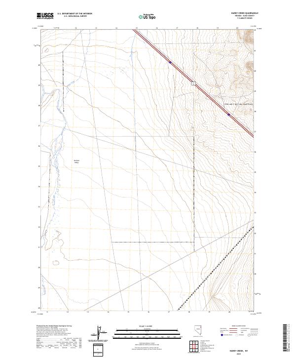
2023 Map of Hardy Creek
USGS Topo · Published 2023About this map
Goshute Valley dominates this high-desert basin in eastern Elko County, where seasonal watercourses like Hardy Creek and Nanny Creek emerge from the surrounding slopes. The landscape reflects the characteristic Great Basin drainage pattern, with these intermittent streams winding through a series of township and range divisions including t36n r66e and t35n r66e. Modern transportation corridors cut directly through the valley, represented by the diagonal paths of Interstate 80 and Alt 93. This topographic study reveals a quiet, open landscape where historical land surveying lines provide the primary structure over the natural alluvial flats and creek beds.
Find a feature on this map
9 named features on this map. Tap any name to fly to it.
Don’t see what you’re looking for? This feature index may not catch every label — zoom into the map to look around manually.
Map Details
Editions of this 2023 Hardy Creek Map
This is the sole edition of this map. No revisions or reprints were ever made.
Other maps of this area

1955 · Wells
USGS Topo · 1:250,000

1955 · Elko
USGS Topo · 1:250,000

1958 · Wells
USGS Topo · 1:250,000

1958 · Elko
USGS Topo · 1:250,000

1961 · Wells
USGS Topo · 1:250,000

1962 · Elko
USGS Topo · 1:250,000

1965 · Elko
USGS Topo · 1:250,000

1967 · Cobre SE
USGS Topo · 1:24,000

1967 · Cobre
USGS Topo · 1:24,000

1968 · Independence Valley NE
USGS Topo · 1:24,000