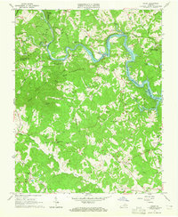
1963 Map of Hardy
USGS Topo · Published 1965About this map
Smith Mountain Lake dominates the northern landscape of this survey, where the Roanoke River snakes through the meeting point of Roanoke, Bedford, and Franklin Counties. The era is defined by the expansion of this major reservoir, with the Norfolk and Western railway corridor running parallel to the water near Hardy. The terrain is defined by prominent ridges like Lynville Mountain and Blue Ridge, creating a patchwork of isolated hollows and high gaps such as Shorts Gap.
Find a feature on this map
63 named features on this map. Tap any name to fly to it.
Don’t see what you’re looking for? This feature index may not catch every label — zoom into the map to look around manually.
Map Details
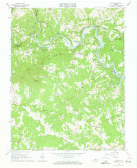
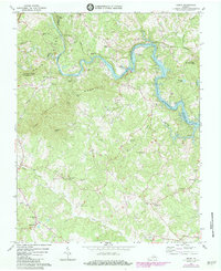
Editions of this 1963 Hardy Map
Other maps of this area

1890 · Roanoke
USGS Topo · 1:125,000

1891 · Roanoke
USGS Topo · 1:125,000

1929 · Roanoke
USGS Topo · 1:48,000

1933 · Roanoke
USGS Topo · 1:62,500

1947 · Roanoke
USGS Topo · 1:250,000

1950 · Peaks of Otter
USGS Topo · 1:62,500

1951 · Boones Mill
USGS Topo · 1:62,500

1951 · Moneta
USGS Topo · 1:62,500

1959 · Roanoke
USGS Topo · 1:250,000

1962 · Roanoke
USGS Topo · 1:24,000