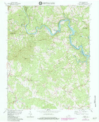
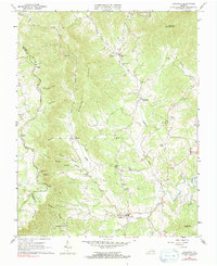
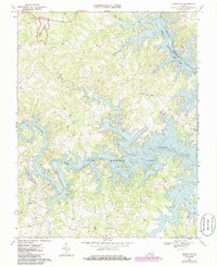
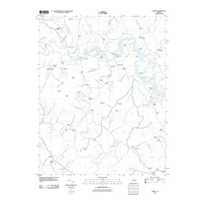
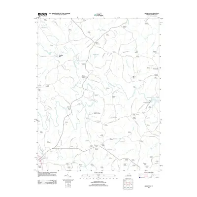
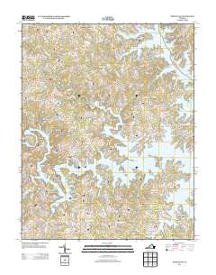
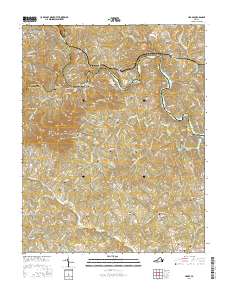
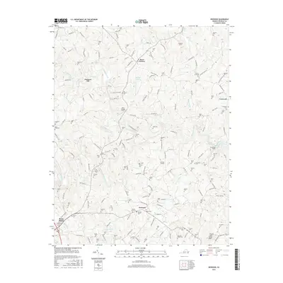
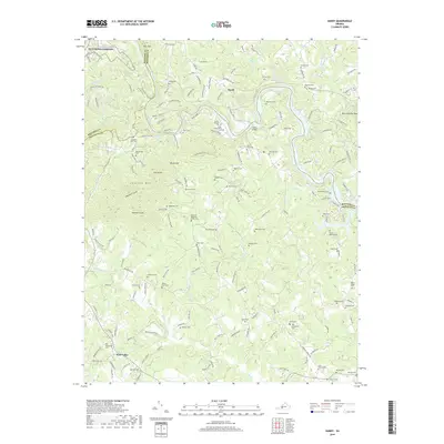
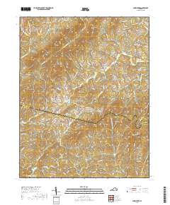
1963 Map of Hardy
USGS Topo · Published 1984About this map
Smith Mountain Lake dominates the northern landscape, where the Roanoke River snakes through the valley before its waters were held by the dam. The 1963 survey captures the area as the Norfolk and Western railway corridor followed the river's path, connecting the settlement at Hardy to the broader regional economy. Family history is deeply rooted here, evidenced by the high density of private burial grounds such as Moorman Cem, Graybill Cem, and Hanabass Cem scattered across the upland ridges.
Find a feature on this map
62 named features on this map. Tap any name to fly to it.
Don’t see what you’re looking for? This feature index may not catch every label — zoom into the map to look around manually.
Map Details
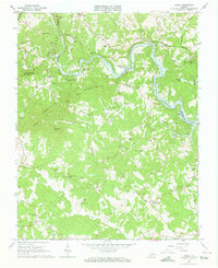
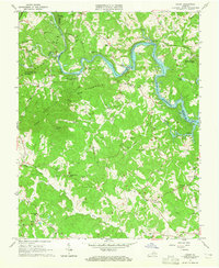
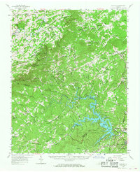
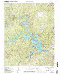
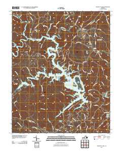
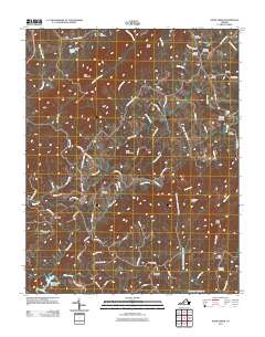
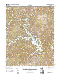
Editions of this 1963 Hardy Map
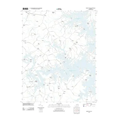
Historical Maps of Hardy Through Time
44 maps found
1957 Endicott
Franklin County, VA
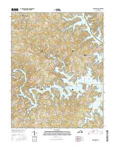
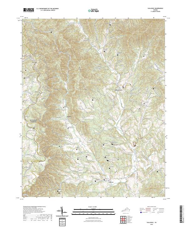
1963 Callaway
Franklin County, VA
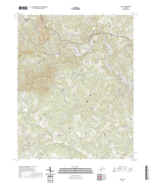
1963 Hardy
Franklin County, VA
1963 Redwood
Franklin County, VA
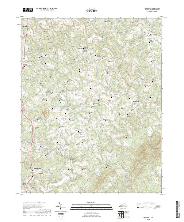
1964 Gladehill
Franklin County, VA
1964 Snow Creek
Franklin County, VA
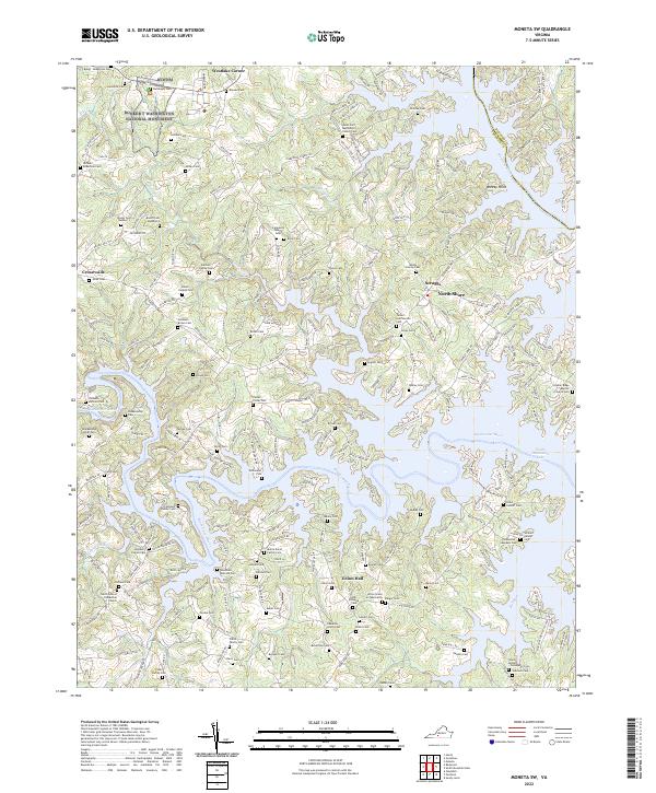
1967 Moneta SW
Franklin County, VA
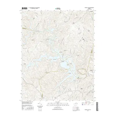
1967 Philpott Lake
Franklin County, VA

1977 Philpott Lake
Franklin County, VA
2010 Callaway
Franklin County, VA
2011 Gladehill
Franklin County, VA
2011 Hardy
Franklin County, VA
2011 Philpott Lake
Franklin County, VA
2011 Snow Creek
Franklin County, VA
2012 Moneta SW
Franklin County, VA
2012 Redwood
Franklin County, VA
2013 Callaway
Franklin County, VA
2013 Gladehill
Franklin County, VA
2013 Hardy
Franklin County, VA
2013 Moneta SW
Franklin County, VA
2013 Philpott Lake
Franklin County, VA
2013 Redwood
Franklin County, VA
2013 Snow Creek
Franklin County, VA

2016 Callaway
Franklin County, VA
2016 Gladehill
Franklin County, VA
2016 Hardy
Franklin County, VA
2016 Moneta SW
Franklin County, VA
2016 Philpott Lake
Franklin County, VA
2016 Redwood
Franklin County, VA
2016 Snow Creek
Franklin County, VA
2019 Callaway
Franklin County, VA
2019 Gladehill
Franklin County, VA
2019 Hardy
Franklin County, VA
2019 Moneta SW
Franklin County, VA
2019 Philpott Lake
Franklin County, VA
2019 Redwood
Franklin County, VA
2019 Snow Creek
Franklin County, VA
2022 Callaway
Franklin County, VA
2022 Gladehill
Franklin County, VA
2022 Hardy
Franklin County, VA
2022 Moneta SW
Franklin County, VA
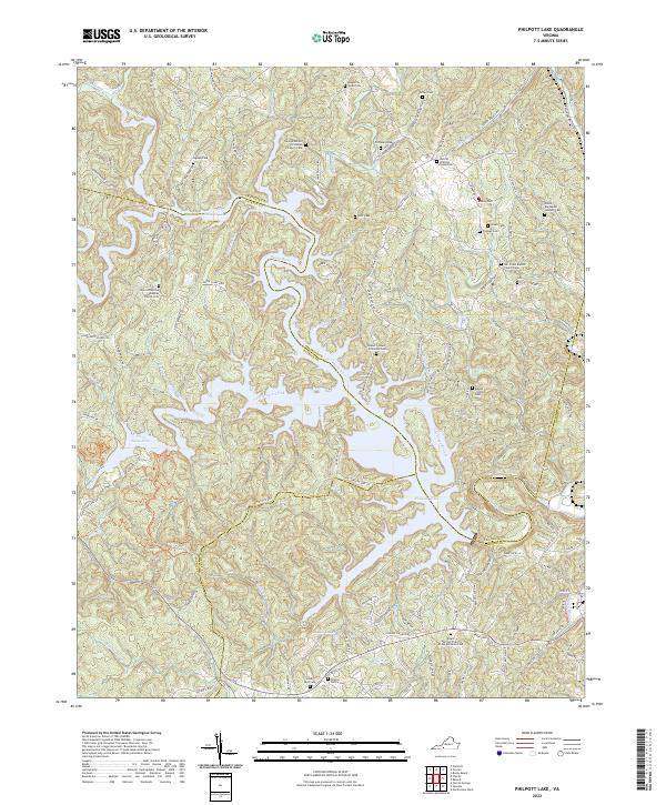
2022 Philpott Lake
Franklin County, VA
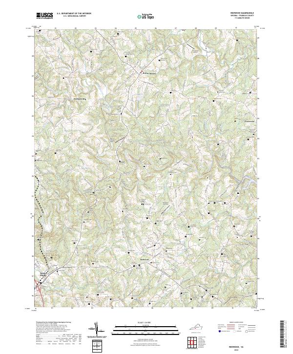
2022 Redwood
Franklin County, VA
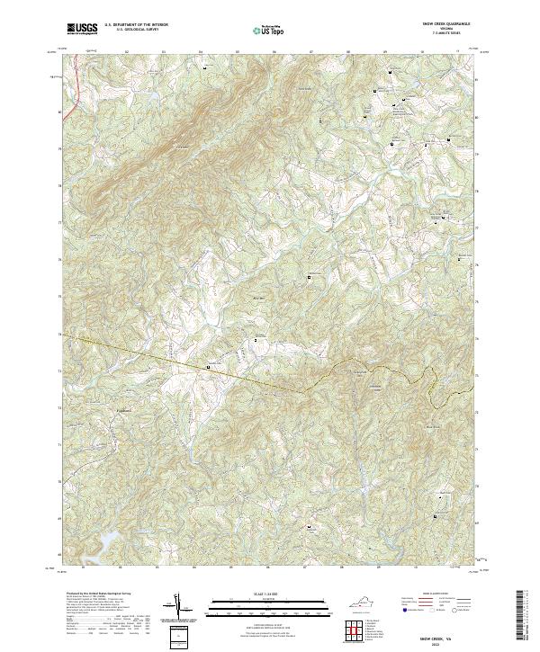
2022 Snow Creek
Franklin County, VA