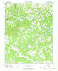
1963 Map of Hardy
USGS Topo · Published 1963About this map
Smith Mountain Lake winds through the gap between Lynville Mountain and the Blue Ridge in this early 1960s study of the Roanoke River valley. The map documents a landscape defined by the intersection of three counties—Roanoke, Bedford, and Franklin—where the Norfolk and Western railway snakes along the northern banks of the developing reservoir. The settlement of Hardy serves as a local hub near the Hardy Bridge, while the southern reaches of the quadrangle transition into the agricultural lands surrounding Red Valley.
Find a feature on this map
59 named features on this map. Tap any name to fly to it.
Don’t see what you’re looking for? This feature index may not catch every label — zoom into the map to look around manually.
Map Details
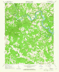
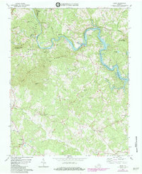
Editions of this 1963 Hardy Map
Other maps of this area

1890 · Roanoke
USGS Topo · 1:125,000

1891 · Roanoke
USGS Topo · 1:125,000

1929 · Roanoke
USGS Topo · 1:48,000

1933 · Roanoke
USGS Topo · 1:62,500

1947 · Roanoke
USGS Topo · 1:250,000

1950 · Peaks of Otter
USGS Topo · 1:62,500

1951 · Boones Mill
USGS Topo · 1:62,500

1951 · Moneta
USGS Topo · 1:62,500

1959 · Roanoke
USGS Topo · 1:250,000
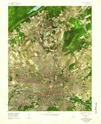
1962 · Roanoke
USGS Topo · 1:24,000