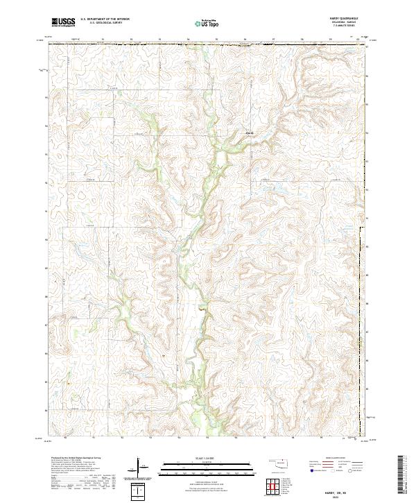
2022 Map of Hardy
USGS Topo · Published 2022About this map
Hardy sits at the heart of this landscape along the border of Kansas and Oklahoma, where the rolling drainages of the southern Flint Hills meet the north-central plains. The map reveals a land defined by its hydrology, featuring a network of seasonal and permanent watercourses including Little Beaver Creek, Mud Creek, and Canadian Creek. Scattered throughout the terrain are several identified water management points such as 071038 Reservoir and 071037 Reservoir, which characterize the modern agricultural and conservation priorities of Kay and Osage counties. The rectilinear road network, including North Hardy Lane and East Indian Road, underscores the enduring influence of the Public Land Survey System, which organized this area into townships like t29n r4e and t28n r5e.
Find a feature on this map
32 named features on this map. Tap any name to fly to it.
Don’t see what you’re looking for? This feature index may not catch every label — zoom into the map to look around manually.
Map Details
Editions of this 2022 Hardy Map
This is the sole edition of this map. No revisions or reprints were ever made.
Other maps of this area

1889 · Burden
USGS Topo · 1:125,000

1916 · Foraker
USGS Topo · 1:62,500

1935 · Kaw
USGS Topo · 1:62,500

1955 · Wichita
USGS Topo · 1:250,000

1955 · Enid
USGS Topo · 1:250,000

1958 · Enid
USGS Topo · 1:250,000

1958 · Wichita
USGS Topo · 1:250,000

1962 · Dexter SW
USGS Topo · 1:24,000

1963 · Uncas
USGS Topo · 1:24,000

1963 · Kaw City NW
USGS Topo · 1:24,000