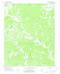
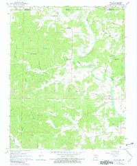
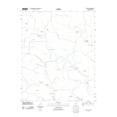
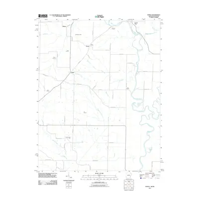
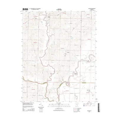
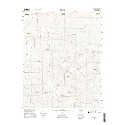
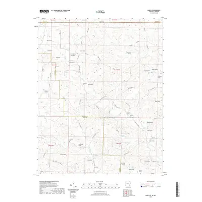
1968 Map of Hardy NE
USGS Topo · Published 1978About this map
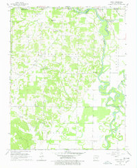
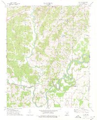
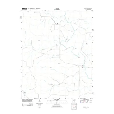
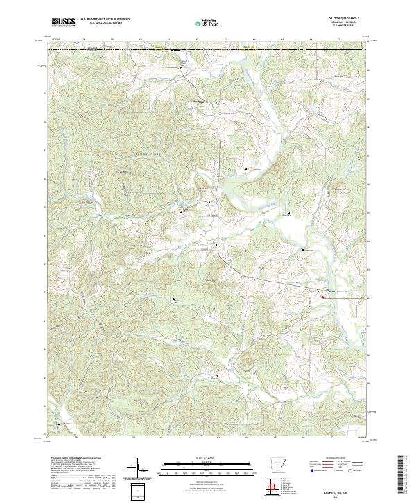
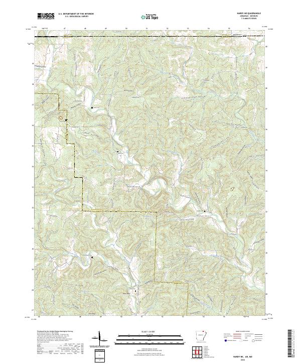
The borderlands of Missouri and Arkansas define this landscape, where the ridge and hollow terrain of Randolph County meets Oregon County. The map is characterized by a dense network of watercourses, most notably Janes Creek, which is fed by numerous named tributaries like Lick Hollow, Well Hollow, and Athye Branch. Settlement patterns are revealed through family-named landmarks and cemeteries, suggesting a history of decentralized rural life centered on local churches such as English Bluff Ch and Ring Ch.
Find a feature on this map
48 named features on this map. Tap any name to fly to it.
Don’t see what you’re looking for? This feature index may not catch every label — zoom into the map to look around manually.
Map Details
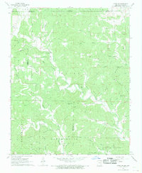
Editions of this 1968 Hardy NE Map
2 editions found
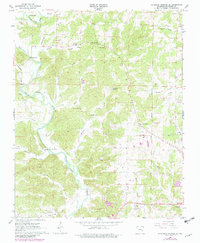
Historical Maps of Randolph County Through Time
36 maps found
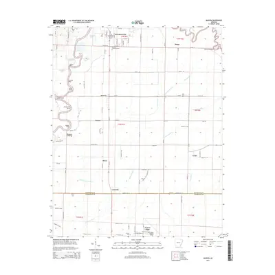
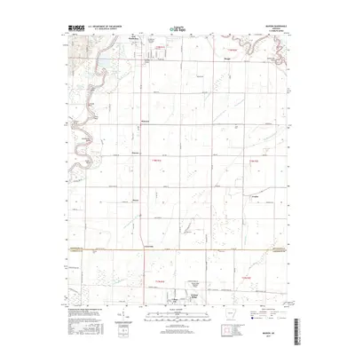
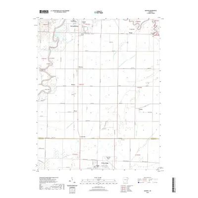
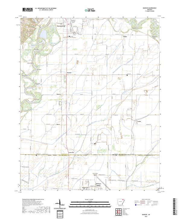
1965 Manson
Randolph County, AR
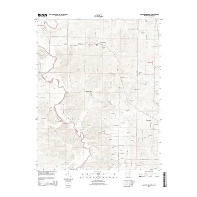
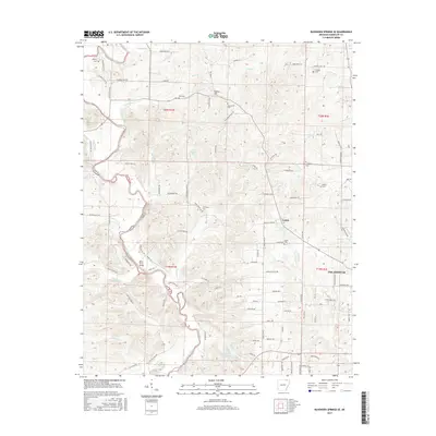
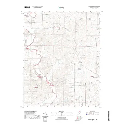
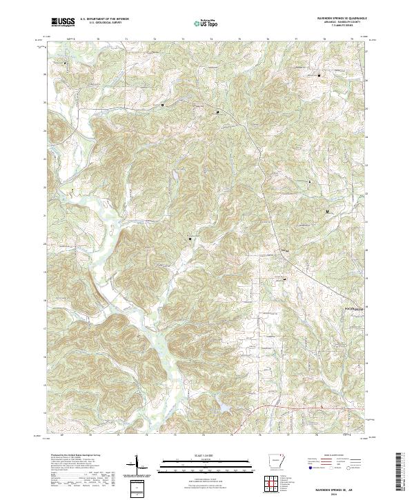
1966 Ravenden Springs SE
Randolph County, AR
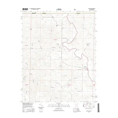
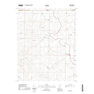
1968 Dalton
Randolph County, AR
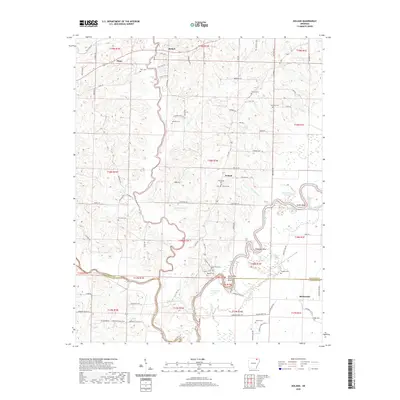
1968 Hardy NE
Randolph County, AR
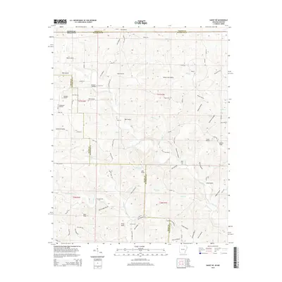
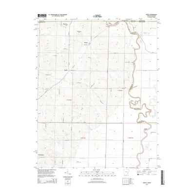
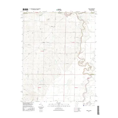
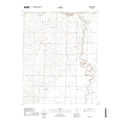
1968 Supply
Randolph County, AR
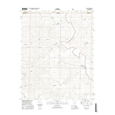
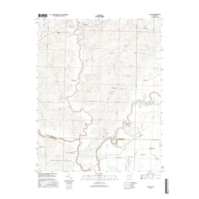
1974 Noland
Randolph County, AR
2011 Dalton
Randolph County, AR
2011 Hardy NE
Randolph County, AR
2011 Manson
Randolph County, AR
2011 Noland
Randolph County, AR
2011 Ravenden Springs SE
Randolph County, AR
2011 Supply
Randolph County, AR
2014 Dalton
Randolph County, AR
2014 Hardy NE
Randolph County, AR
2014 Manson
Randolph County, AR
2014 Noland
Randolph County, AR
2014 Ravenden Springs SE
Randolph County, AR
2014 Supply
Randolph County, AR
2017 Dalton
Randolph County, AR
2017 Hardy NE
Randolph County, AR
2017 Manson
Randolph County, AR
2017 Noland
Randolph County, AR
2017 Ravenden Springs SE
Randolph County, AR
2017 Supply
Randolph County, AR
2020 Dalton
Randolph County, AR
2020 Hardy NE
Randolph County, AR
2020 Manson
Randolph County, AR
2020 Noland
Randolph County, AR
2020 Ravenden Springs SE
Randolph County, AR
2020 Supply
Randolph County, AR
2024 Dalton
Randolph County, AR
2024 Hardy NE
Randolph County, AR
2024 Manson
Randolph County, AR
2024 Noland
Randolph County, AR
2024 Ravenden Springs SE
Randolph County, AR
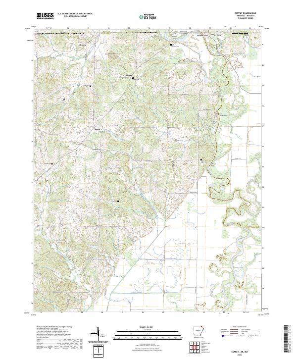
2024 Supply
Randolph County, AR