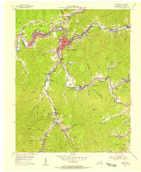
1954 Map of Harlan
USGS Topo · Published 1956About this map
Harlan serves as the focal point of this mid-century survey, situated at the confluence of the Cumberland River and Martins Fork. The town's civic infrastructure is well-defined, featuring the Courthouse and the Radio Tower (WHLN), while the surrounding hollows are packed with coal-era settlements. The Louisville and Nashville railroad tracks follow the river bends, connecting industrial nodes like Grays Knob (Wilsonberger Sta) and Mary Helen (Coalgood PO). This geography illustrates the intense relationship between the steep terrain of Little Black Mountain and the rail-dependent economy. Notable community landmarks including the County Home, Farmers Mill, and the Drive-in Theatre provide a detailed look at the social landscape during a period of significant regional development. Numerous small schools like Hall High Sch and High Bank Sch dot the valleys, marking the scattered but dense population of these mountain communities.
Find a feature on this map
107 named features on this map. Tap any name to fly to it.
Don’t see what you’re looking for? This feature index may not catch every label — zoom into the map to look around manually.
Map Details
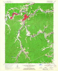
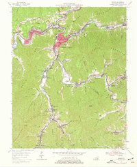
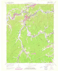
Editions of this 1954 Harlan Map
4 editions found
Other maps of this area

1887 · Jonesville
USGS Topo · 1:125,000

1891 · Jonesville
USGS Topo · 1:125,000

1903 · Harlan
USGS Topo · 1:48,000

1916 · Harlan
USGS Topo · 1:48,000

1916 · Nolansburg
USGS Topo · 1:48,000

1919 · Nolansburg
USGS Topo · 1:62,500

1919 · Harlan
USGS Topo · 1:62,500

1932 · Hagan
USGS Topo · 1:62,500
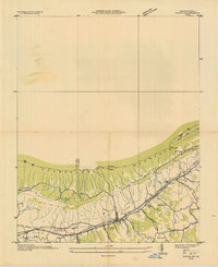
1935 · Ewing
USGS Topo · 1:24,000

1935 · Hubbard Springs
USGS Topo · 1:24,000