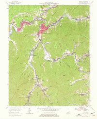
1954 Map of Harlan
USGS Topo · Published 1977About this map
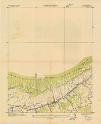
Harlan and the surrounding coal-country settlements define this mid-century portrait of the Kentucky highlands. The landscape is dominated by the steep ridges of Black Mountain and Little Black Mountain, where narrow valley floors are packed with industry and community. The Louisville and Nashville railroad tracks follow the winding paths of the Cumberland River, Clover Fork, and Poor Fork, connecting established mining towns like Brookside, Coxton, and Kitts.
Find a feature on this map
103 named features on this map. Tap any name to fly to it.
Don’t see what you’re looking for? This feature index may not catch every label — zoom into the map to look around manually.
Map Details
Editions of this 1954 Harlan Map
4 editions found
Other maps of this area

1887 · Jonesville
USGS Topo · 1:125,000

1891 · Jonesville
USGS Topo · 1:125,000

1903 · Harlan
USGS Topo · 1:48,000

1916 · Harlan
USGS Topo · 1:48,000

1916 · Nolansburg
USGS Topo · 1:48,000

1919 · Nolansburg
USGS Topo · 1:62,500

1919 · Harlan
USGS Topo · 1:62,500

1932 · Hagan
USGS Topo · 1:62,500
1935 · Ewing
USGS Topo · 1:24,000

1935 · Hubbard Springs
USGS Topo · 1:24,000