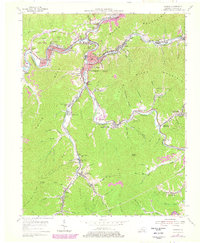
1954 Map of Harlan
USGS Topo · Published 1978About this map
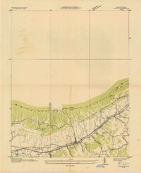
The Harlan coalfield region is captured here during a period of intense industrial activity and residential growth. This 1954 survey shows the dense cluster of mining settlements and rail infrastructure lining the narrow valleys of the Cumberland River, Poor Fork, and Martins Fork. The Louisville and Nashville railroad is the backbone of the region, serving the Harlan Gas works and numerous coal camps like Mary Helen and Lenarue.
Find a feature on this map
99 named features on this map. Tap any name to fly to it.
Don’t see what you’re looking for? This feature index may not catch every label — zoom into the map to look around manually.
Map Details
Editions of this 1954 Harlan Map
4 editions found
Other maps of this area

1887 · Jonesville
USGS Topo · 1:125,000

1891 · Jonesville
USGS Topo · 1:125,000

1903 · Harlan
USGS Topo · 1:48,000

1916 · Harlan
USGS Topo · 1:48,000

1916 · Nolansburg
USGS Topo · 1:48,000

1919 · Nolansburg
USGS Topo · 1:62,500

1919 · Harlan
USGS Topo · 1:62,500

1932 · Hagan
USGS Topo · 1:62,500
1935 · Ewing
USGS Topo · 1:24,000

1935 · Hubbard Springs
USGS Topo · 1:24,000