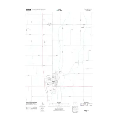
2013 Map of Harlan
USGS Topo · Published 2013About this map
The W Fork W Nishnabotna River and the W Nishnabotna River converge near Harlan, a community that serves as the commercial and social hub for this section of Shelby County. The street grid is clearly defined, with Cyclone Ave, Hill St, and W Park St forming the residential and civic heart of the town. This 2013 survey illustrates the civic importance of the area, featuring the Shelby County Fairgrounds and the adjacent Shelby County Speedway just north of the city center.
Find a feature on this map
59 named features on this map. Tap any name to fly to it.
Don’t see what you’re looking for? This feature index may not catch every label — zoom into the map to look around manually.
Map Details
Editions of this 2013 Harlan Map
This is the sole edition of this map. No revisions or reprints were ever made.
Other maps of this area

1954 · Omaha
USGS Topo · 1:250,000

1957 · Omaha
USGS Topo · 1:250,000

1958 · Omaha
USGS Topo · 1:250,000

1971 · Earling
USGS Topo · 1:24,000

1971 · Defiance
USGS Topo · 1:24,000

1978 · Panama
USGS Topo · 1:24,000

1978 · Irwin
USGS Topo · 1:24,000

1978 · Corley
USGS Topo · 1:24,000

1978 · Prairie Rose Lake
USGS Topo · 1:24,000
1978 · Harlan
USGS Topo · 1:24,000