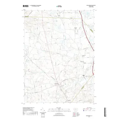
2019 Map of Harlansburg
USGS Topo · Published 2019About this map
Slippery Rock Creek winds through the southern reaches of this landscape, anchoring a rural Pennsylvania region defined by small townships and traditional church-centered communities. In the village of Plain Grove, the Plain Grove United Presbyterian Church Cemetery stands as a significant genealogical marker for local families, while the settlement of Harlansburg serves as a crossroads near the Unity Cemetery. The map captures the meeting of three counties—Mercer, Lawrence, and Butler—highlighting how these political boundaries intersect with the natural flow of waterways like Taylor Run and Hottenbaugh Run. Researchers will find a preserved pattern of rural life, from the scattered homes at Brent and Rockville to the older industrial site of Elliotts Mills. This 2019 survey documents the enduring road networks and land divisions that have shaped the area for generations.
Find a feature on this map
113 named features on this map. Tap any name to fly to it.
Don’t see what you’re looking for? This feature index may not catch every label — zoom into the map to look around manually.
Map Details
Editions of this 2019 Harlansburg Map
This is the sole edition of this map. No revisions or reprints were ever made.
Other maps of this area

1902 · New Castle
USGS Topo · 1:62,500

1904 · Newcastle
USGS Topo · 1:62,500

1905 · Neshannock
USGS Topo · 1:62,500

1907 · Neshannock
USGS Topo · 1:62,500

1908 · Zelienople
USGS Topo · 1:62,500

1910 · Zelienople
USGS Topo · 1:62,500

1913 · Mercer
USGS Topo · 1:62,500

1939 · Mercer
USGS Topo · 1:62,500

1943 · Mercer
USGS Topo · 1:62,500

1950 · Cleveland
USGS Topo · 1:250,000
Featured Places
- Plain Grove Township, PA
- Rockville, Scott Township
- Worth Township, PA
- Washington Township, PA
- Springfield Township, PA