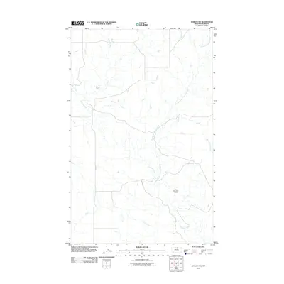
2011 Map of Harlem NW
USGS Topo · Published 2011About this map
Thirtymile Creek and its extensive drainage network define this high plains landscape of Blaine County during the early 21st century. The map reveals a sparsely settled ranching environment where water management is central to the land's utility, evidenced by the Wcga Number 2 Dam along the East Branch Thirtymile Creek. Landmarks such as Sortorstorm's Ranch provide rare points of human habitation in a region primarily structured by its hydrology and a grid of rural routes including Oberg Rd and 8 Mile Rd. Other watercourses like Nessler Creek and West Forgey Creek weave through the terrain, illustrating the natural water distribution essential for livestock and agriculture in this part of Montana.
Find a feature on this map
8 named features on this map. Tap any name to fly to it.
Don’t see what you’re looking for? This feature index may not catch every label — zoom into the map to look around manually.
Map Details
Editions of this 2011 Harlem NW Map
This is the sole edition of this map. No revisions or reprints were ever made.
Other maps of this area

1904 · Chinook
USGS Topo · 1:62,500

1905 · Harlem
USGS Topo · 1:62,500

1912 · Zurich
USGS Topo · 1:125,000

1913 · Cherry Ridge
USGS Topo · 1:125,000

1953 · Havre
USGS Topo · 1:250,000

1957 · Havre
USGS Topo · 1:250,000

1958 · Havre
USGS Topo · 1:250,000
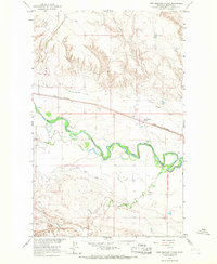
1964 · Fort Belknap Siding
USGS Topo · 1:24,000
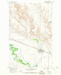
1964 · Harlem
USGS Topo · 1:24,000
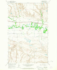
1964 · Zurich
USGS Topo · 1:24,000