
1897 Map of Harlem
USGS Topo · Published 1956About this map
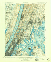
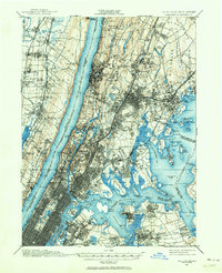
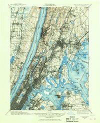
Yonkers and the northern reaches of New York City are captured here as the 19th century draws to a close, showing a landscape transitioning from suburban estates to dense urban corridors. The map highlights the critical infrastructure of the era, including the Croton Aqueduct and the massive Jerome Park Reservoir, alongside the newly completed Ship Canal at Tubby Hook. Major public spaces such as Van Cortlandt Park, Woodlawn Cemetery, and Riverside Park anchor the boroughs, while Grant's Tomb stands as a prominent landmark overlooking the Hudson River. Across the water, the Palisades rise above settlements like Tenafly and Fort Lee, connected to the city by a dense network of rail lines including the New York and Putnam R.R. and the West Shore Railroad. This survey preserves the complex geography of islands and points along the East River, from Rikers Island to the military installation at Fort Schuyler.
Find a feature on this map
175 named features on this map. Tap any name to fly to it.
Don’t see what you’re looking for? This feature index may not catch every label — zoom into the map to look around manually.
Map Details
Editions of this 1897 Harlem Map
4 editions found
Other maps of this area

1888 · Paterson
USGS Topo · 1:62,500

1889 · Brooklyn
USGS Topo · 1:62,500

1891 · Ramapo
USGS Topo · 1:62,500

1891 · Brooklyn
USGS Topo · 1:62,500

1891 · Harlem
USGS Topo · 1:62,500

1892 · Stamford
USGS Topo · 1:62,500

1892 · Paterson
USGS Topo · 1:62,500

1892 · Tarrytown
USGS Topo · 1:62,500

1893 · Stamford
USGS Topo · 1:62,500

1893 · Tarrytown
USGS Topo · 1:62,500