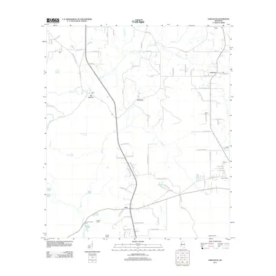
2012 Map of Harleston
USGS Topo · Published 2012About this map
Old Americus and Wade anchor this survey of the low-lying wetlands and creek systems in eastern Mississippi. The landscape is defined by the complex branching of Big Cedar Cr and the wide, marshy expanses of Black Creek Slough and John Goff Slough. These water systems create a network of named islands and sloughs, including Parkers Island and Straw Island, which have long dictated the placement of local roads and crossings.
Find a feature on this map
93 named features on this map. Tap any name to fly to it.
Don’t see what you’re looking for? This feature index may not catch every label — zoom into the map to look around manually.
Map Details
Editions of this 2012 Harleston Map
This is the sole edition of this map. No revisions or reprints were ever made.
Other maps of this area

1941 · Hurley
USGS Topo · 1:62,500

1941 · Vancleave
USGS Topo · 1:62,500

1941 · Lucedale
USGS Topo · 1:62,500

1942 · Wilmer
USGS Topo · 1:62,500

1943 · Lucedale
USGS Topo · 1:62,500

1943 · Hurley
USGS Topo · 1:62,500

1943 · Vancleave
USGS Topo · 1:62,500

1944 · Wilmer
USGS Topo · 1:62,500

1944 · Vancleave
USGS Topo · 1:62,500

1953 · Mobile
USGS Topo · 1:250,000