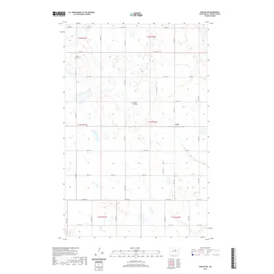
2020 Map of Harlow SW
USGS Topo · Published 2020About this map
The small settlement of Isabel occupies a central position in this Benson County landscape, which is characterized by a high concentration of prairie potholes and small wetlands. This glacial terrain, dotted with numerous unnamed depressions and water bodies, has historically shaped the local road network, forcing routes like Tollerud Rd and Toso Rd to navigate around the water-filled basins typical of this region of North Dakota. For those researching family history or local settlement patterns, the presence of Bethany Lutheran Cem and Immanuel Lutheran Church Cem serves as a reminder of the area's rural congregation centers, which often persisted as community focal points long after larger town developments slowed.
Find a feature on this map
23 named features on this map. Tap any name to fly to it.
Don’t see what you’re looking for? This feature index may not catch every label — zoom into the map to look around manually.
Map Details
Editions of this 2020 Harlow SW Map
This is the sole edition of this map. No revisions or reprints were ever made.
Other maps of this area

1941 · Selz
USGS Topo · 1:62,500

1943 · Maddock
USGS Topo · 1:62,500

1945 · Maddock
USGS Topo · 1:62,500

1951 · Selz NE
USGS Topo · 1:24,000

1951 · Maddock
USGS Topo · 1:24,000

1951 · Hesper
USGS Topo · 1:24,000

1952 · New Rockford
USGS Topo · 1:250,000

1953 · Devils Lake
USGS Topo · 1:250,000

1956 · New Rockford
USGS Topo · 1:250,000

1956 · Devils Lake
USGS Topo · 1:250,000