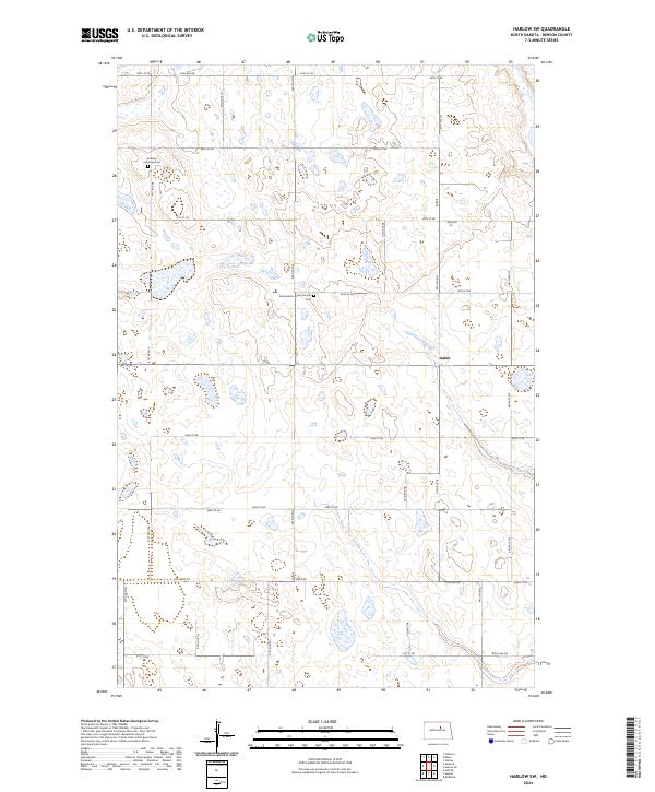
2024 Map of Harlow SW
USGS Topo · Published 2024About this map
Glacial prairie potholes and scattered wetlands define this section of Benson County, where the rural landscape is anchored by long-standing Lutheran congregations. Near the northern boundary, the Bethany Lutheran Church and Bethany Lutheran Cem stand as central landmarks for the local community. Further south, the Immanuel Lutheran Church and its associated Immanuel Lutheran Church Cem mark the intersection of section-line roads like 46th St NE. The settlement of Isabel is situated in the eastern portion of the quadrangle, serving as a focal point in a region primarily dedicated to agriculture and conservation. Several tracts of the Benson County Waterfowl Production Area are interspersed throughout the township, preserving the natural habitat within a grid of county roads including Tollerud Rd and Toso Rd.
Find a feature on this map
24 named features on this map. Tap any name to fly to it.
Don’t see what you’re looking for? This feature index may not catch every label — zoom into the map to look around manually.
Map Details
Editions of this 2024 Harlow SW Map
This is the sole edition of this map. No revisions or reprints were ever made.
Other maps of this area

1941 · Selz
USGS Topo · 1:62,500

1943 · Maddock
USGS Topo · 1:62,500

1945 · Maddock
USGS Topo · 1:62,500

1951 · Selz NE
USGS Topo · 1:24,000

1951 · Maddock
USGS Topo · 1:24,000

1951 · Hesper
USGS Topo · 1:24,000

1952 · New Rockford
USGS Topo · 1:250,000

1953 · Devils Lake
USGS Topo · 1:250,000

1956 · New Rockford
USGS Topo · 1:250,000

1956 · Devils Lake
USGS Topo · 1:250,000