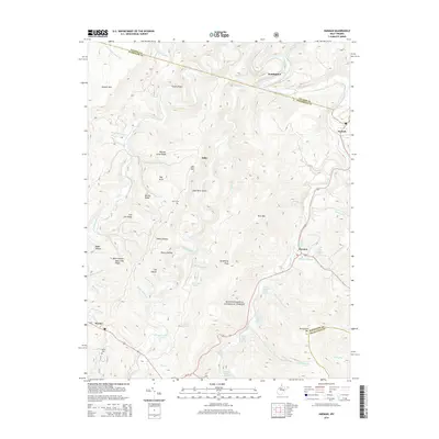
2014 Map of Harman
USGS Topo · Published 2014About this map
Monongahela National Forest defines the high-elevation landscape of this 2014 survey, where the Glady Fork and Dry Fork rivers carve deep valleys through the Allegheny Mountains. This region of West Virginia is characterized by its agricultural heritage, as evidenced by numerous named water sources such as the Jasper Yokum Farm Springs, Pershing Harman Farm Spring, and Herman Smith Spring. These labels provide a unique window into local land ownership and the importance of specific water rights in the Appalachian highlands.
Find a feature on this map
61 named features on this map. Tap any name to fly to it.
Don’t see what you’re looking for? This feature index may not catch every label — zoom into the map to look around manually.
Map Details
Editions of this 2014 Harman Map
This is the sole edition of this map. No revisions or reprints were ever made.
Other maps of this area

1886 · St. George
USGS Topo · 1:125,000

1889 · Beverly
USGS Topo · 1:125,000

1891 · St. George
USGS Topo · 1:125,000

1892 · Beverly
USGS Topo · 1:125,000

1892 · Franklin
USGS Topo · 1:125,000

1895 · Piedmont
USGS Topo · 1:125,000

1896 · Franklin
USGS Topo · 1:125,000

1908 · Parsons
USGS Topo · 1:62,500

1916 · Davis
USGS Topo · 1:48,000

1918 · Davis
USGS Topo · 1:62,500