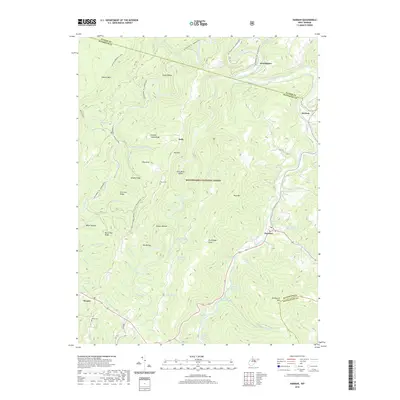
2019 Map of Harman
USGS Topo · Published 2019About this map
Harman serves as the focal point of this highland survey, where the Dry Fork river carves through the central valley of the Monongahela National Forest. The landscape is defined by the steep parallel ridges of Shavers Mtn and Rich Mtn, with smaller settlements like Sully and Jenningston established along the watercourses. This map reveals a complex network of springs and runs that supported high-altitude farming, including the Pershing Harman Farm Spring and George Tyson Farm Spring. For genealogists, the inclusion of remote burial sites such as Kerns Cem and White Cem provides critical location data for family history research in this part of Randolph County. The intersection of wilderness trails like the Shavers Mountain Trail with the sparse road network highlights the enduring isolation of these mountain hollows.
Find a feature on this map
62 named features on this map. Tap any name to fly to it.
Don’t see what you’re looking for? This feature index may not catch every label — zoom into the map to look around manually.
Map Details
Editions of this 2019 Harman Map
This is the sole edition of this map. No revisions or reprints were ever made.
Other maps of this area

1886 · St. George
USGS Topo · 1:125,000

1889 · Beverly
USGS Topo · 1:125,000

1891 · St. George
USGS Topo · 1:125,000

1892 · Beverly
USGS Topo · 1:125,000

1892 · Franklin
USGS Topo · 1:125,000

1895 · Piedmont
USGS Topo · 1:125,000

1896 · Franklin
USGS Topo · 1:125,000

1908 · Parsons
USGS Topo · 1:62,500

1916 · Davis
USGS Topo · 1:48,000

1918 · Davis
USGS Topo · 1:62,500