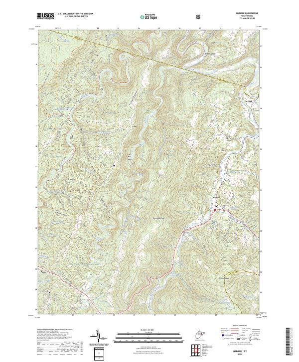
2023 Map of Harman
USGS Topo · Published 2023About this map
Harman serves as a central hub in this high-altitude landscape of Randolph County, where the Dry Fork and Laurel Fork rivers carve deep valleys through the Allegheny Mountains. The map highlights a remote residential and agricultural pattern, with family-named landmarks such as the Jasper Yokum Farm Springs and John Mullennex Spring indicating the importance of local water sources to mountain life. Much of the western terrain is preserved within the Otter Creek Wilderness and the Monongahela National Forest, accessible only via footpaths like the Shavers Mountain Tr or the Allegheny Tr - Marlin Mtn Tr. Small settlements like Jenningston and Dryfork follow the narrow river corridors, while ridges such as Panther Camp Ridge and Rich Mountain dominate the skyline. For genealogists, the inclusion of Kerns Cem and White Cem provides specific points of interest for tracing early families in the region.
Find a feature on this map
66 named features on this map. Tap any name to fly to it.
Don’t see what you’re looking for? This feature index may not catch every label — zoom into the map to look around manually.
Map Details
Editions of this 2023 Harman Map
This is the sole edition of this map. No revisions or reprints were ever made.
Other maps of this area

1886 · St. George
USGS Topo · 1:125,000

1889 · Beverly
USGS Topo · 1:125,000

1891 · St. George
USGS Topo · 1:125,000

1892 · Beverly
USGS Topo · 1:125,000

1892 · Franklin
USGS Topo · 1:125,000

1895 · Piedmont
USGS Topo · 1:125,000

1896 · Franklin
USGS Topo · 1:125,000

1908 · Parsons
USGS Topo · 1:62,500

1916 · Davis
USGS Topo · 1:48,000

1918 · Davis
USGS Topo · 1:62,500