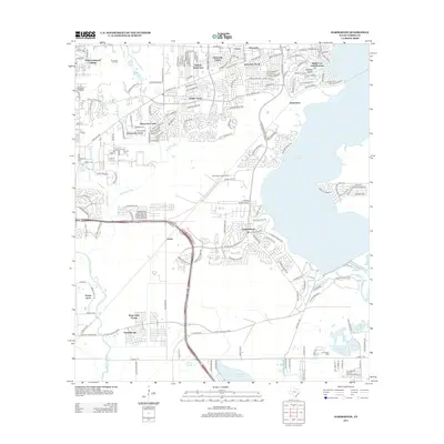
2013 Map of Harmaston
USGS Topo · Published 2013About this map
Lake Houston and its western shoreline define the character of this suburban landscape, where planned residential developments meet residual industrial activity in the early 21st century. The expansion of northern Harris County is evident in the dense street networks of Walden on Lake Houston, Summerwood, and Atascocita South, which contrast with the open grounds of the Riverside Oil Field and Alco Magnolia Oil Field.
Find a feature on this map
32 named features on this map. Tap any name to fly to it.
Don’t see what you’re looking for? This feature index may not catch every label — zoom into the map to look around manually.
Map Details
Editions of this 2013 Harmaston Map
This is the sole edition of this map. No revisions or reprints were ever made.
Other maps of this area

1916 · Burnett Bay
USGS Topo · 1:24,000

1916 · Crosby
USGS Topo · 1:24,000

1916 · Settegast
USGS Topo · 1:24,000

1916 · Fauna
USGS Topo · 1:24,000

1916 · Harmaston
USGS Topo · 1:24,000

1916 · Moonshine Hill
USGS Topo · 1:24,000

1916 · Huffman
USGS Topo · 1:24,000

1916 · Humble
USGS Topo · 1:24,000

1919 · Humble
USGS Topo · 1:31,680

1919 · Weeden
USGS Topo · 1:31,680