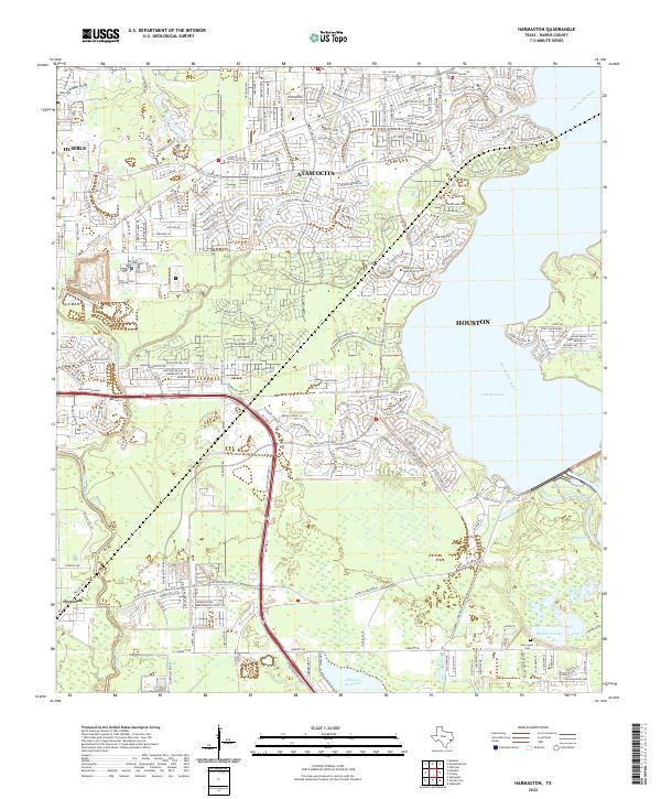
2022 Map of Harmaston
USGS Topo · Published 2022About this map
Atascocita and the surrounding Harris County suburbs demonstrate the modern expansion of Houston along the western shores of Lake Houston. The landscape is a complex transition between dense residential developments and significant hydrological features, including the San Jacinto River and the extensive Sheldon Reservoir to the south. Notable for local history and genealogy, the Harrington Cem remains preserved amidst the growing road networks. Educational infrastructure is anchored by the Lone Star College Atascocita Center, serving the burgeoning population near Humble. The presence of numerous drainage features like Greens Bayou, Jordon Gully, and Spring Gully highlights the low-lying terrain that characterizes this part of the Texas Gulf Coast, where water management and urban planning are deeply intertwined.
Find a feature on this map
22 named features on this map. Tap any name to fly to it.
Don’t see what you’re looking for? This feature index may not catch every label — zoom into the map to look around manually.
Map Details
Editions of this 2022 Harmaston Map
This is the sole edition of this map. No revisions or reprints were ever made.
Other maps of this area

1916 · Burnett Bay
USGS Topo · 1:24,000

1916 · Crosby
USGS Topo · 1:24,000

1916 · Settegast
USGS Topo · 1:24,000

1916 · Fauna
USGS Topo · 1:24,000

1916 · Harmaston
USGS Topo · 1:24,000

1916 · Moonshine Hill
USGS Topo · 1:24,000

1916 · Huffman
USGS Topo · 1:24,000

1916 · Humble
USGS Topo · 1:24,000

1919 · Humble
USGS Topo · 1:31,680

1919 · Weeden
USGS Topo · 1:31,680