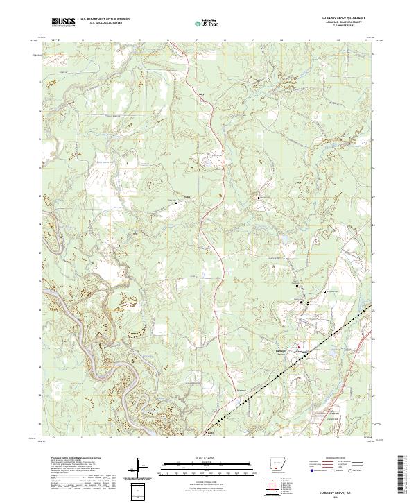
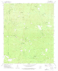
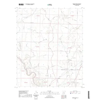
2024 Map of Harmony Grove
USGS Topo · Published 2024About this map
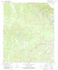
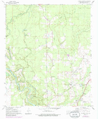
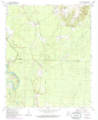
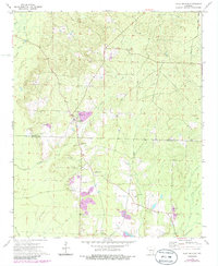
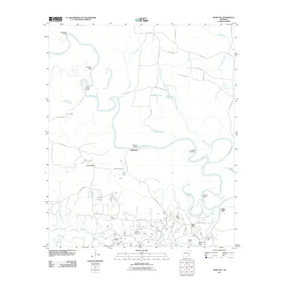
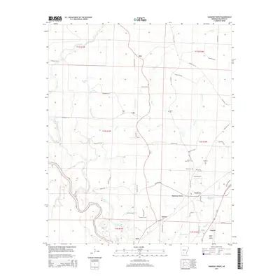
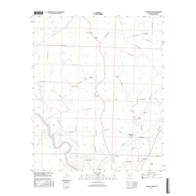
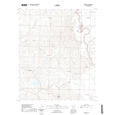
The Ouachita River meanders through the western half of this Ouachita County landscape, shaping a complex network of oxbows and secondary waterways like Toney Old River, Palmer Bayou, and Lower Old River. The terrain is defined by its riparian character, with Freeo Creek and Mizzell Creek draining towards the river valley. Human settlement is concentrated in small communities such as Harmony Grove, Vanduzer, and Amy, which are connected by a web of rural roads like Princeton Rd. This survey documents a quiet rural area where small aviation is represented by Harrell Field in the southeast corner near Camark. Genealogists will find significant value in the numerous family and community burial grounds documented here, including Harmony Grove Cem, Broughton Cem, and Saint Paul Cem, which provide anchors for local history and heritage.
Find a feature on this map
73 named features on this map. Tap any name to fly to it.
Don’t see what you’re looking for? This feature index may not catch every label — zoom into the map to look around manually.
Map Details
Editions of this 2024 Harmony Grove Map
This is the sole edition of this map. No revisions or reprints were ever made.
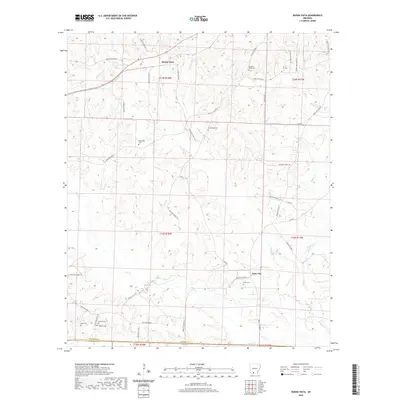
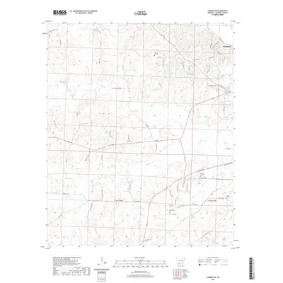
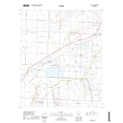
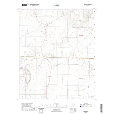
Historical Maps of Amy Through Time
54 maps found
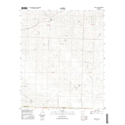
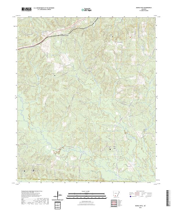
1962 Buena Vista
Ouachita County, AR
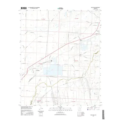
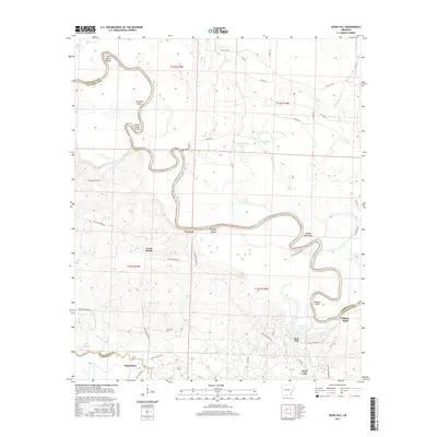
1962 Snow Hill
Ouachita County, AR
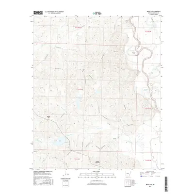
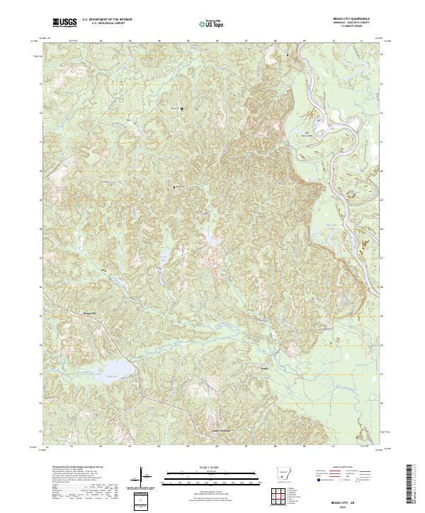
1971 Bragg City
Ouachita County, AR
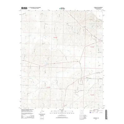
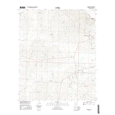
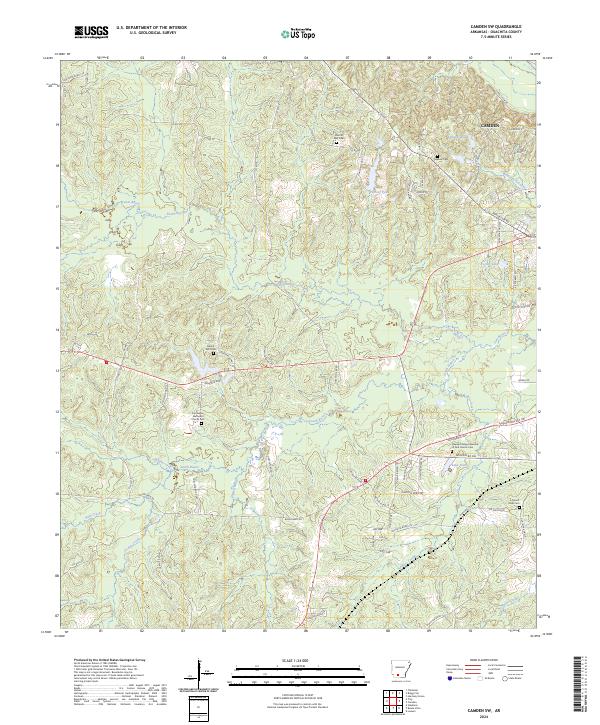
1971 Camden SW
Ouachita County, AR
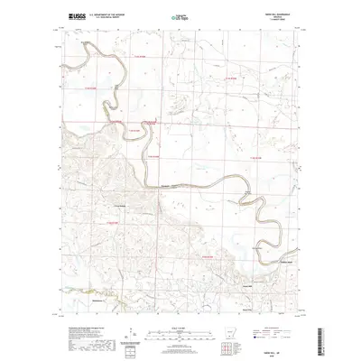
1971 Harmony Grove
Ouachita County, AR
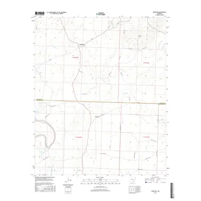
1971 Ouachita
Ouachita County, AR

1973 Eagle Mills
Ouachita County, AR
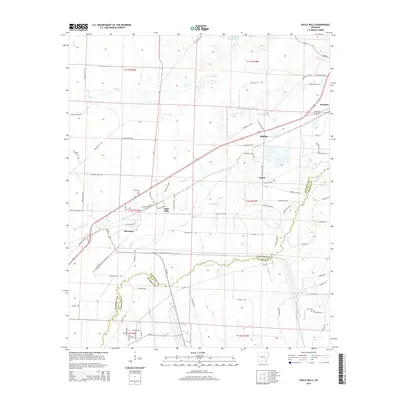
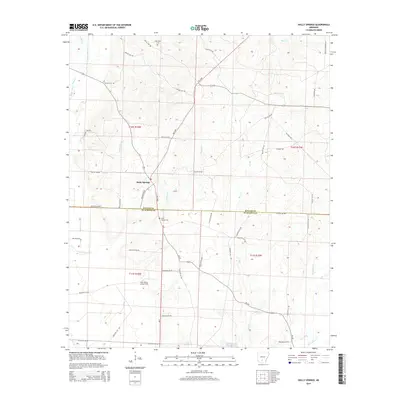
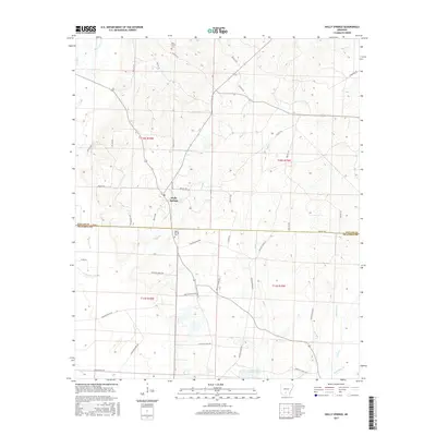
1973 Holly Springs
Ouachita County, AR
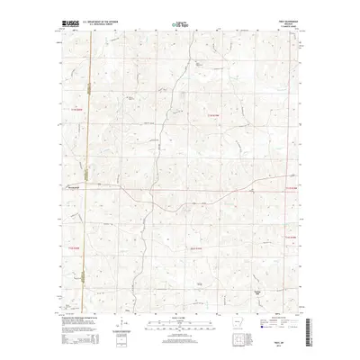
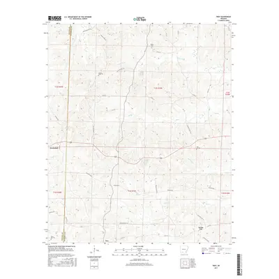
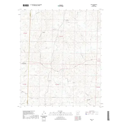
1973 Troy
Ouachita County, AR
2011 Bragg City
Ouachita County, AR
2011 Buena Vista
Ouachita County, AR
2011 Camden SW
Ouachita County, AR
2011 Eagle Mills
Ouachita County, AR
2011 Harmony Grove
Ouachita County, AR
2011 Holly Springs
Ouachita County, AR
2011 Ouachita
Ouachita County, AR
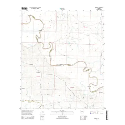
2011 Snow Hill
Ouachita County, AR
2011 Troy
Ouachita County, AR
2014 Bragg City
Ouachita County, AR
2014 Buena Vista
Ouachita County, AR
2014 Camden SW
Ouachita County, AR
2014 Eagle Mills
Ouachita County, AR
2014 Harmony Grove
Ouachita County, AR
2014 Holly Springs
Ouachita County, AR
2014 Ouachita
Ouachita County, AR
2014 Snow Hill
Ouachita County, AR
2014 Troy
Ouachita County, AR
2017 Bragg City
Ouachita County, AR
2017 Buena Vista
Ouachita County, AR
2017 Camden SW
Ouachita County, AR
2017 Eagle Mills
Ouachita County, AR
2017 Harmony Grove
Ouachita County, AR
2017 Holly Springs
Ouachita County, AR
2017 Ouachita
Ouachita County, AR
2017 Snow Hill
Ouachita County, AR
2017 Troy
Ouachita County, AR
2020 Bragg City
Ouachita County, AR
2020 Buena Vista
Ouachita County, AR
2020 Camden SW
Ouachita County, AR
2020 Eagle Mills
Ouachita County, AR
2020 Harmony Grove
Ouachita County, AR
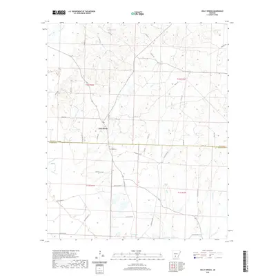
2020 Holly Springs
Ouachita County, AR
2020 Ouachita
Ouachita County, AR
2020 Snow Hill
Ouachita County, AR
2020 Troy
Ouachita County, AR
2024 Bragg City
Ouachita County, AR
2024 Buena Vista
Ouachita County, AR
2024 Camden SW
Ouachita County, AR
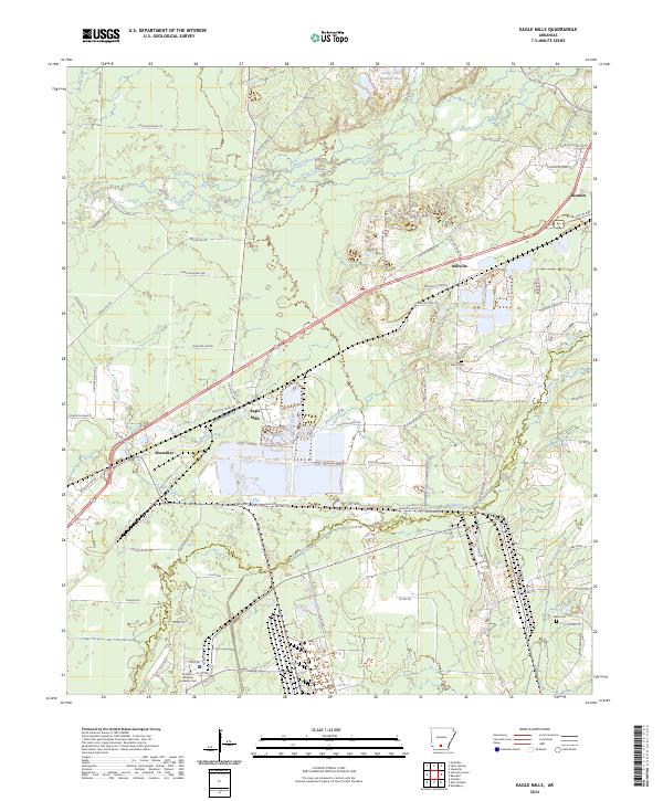
2024 Eagle Mills
Ouachita County, AR
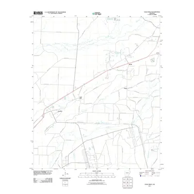
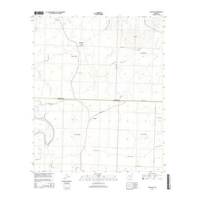
2024 Harmony Grove
Ouachita County, AR
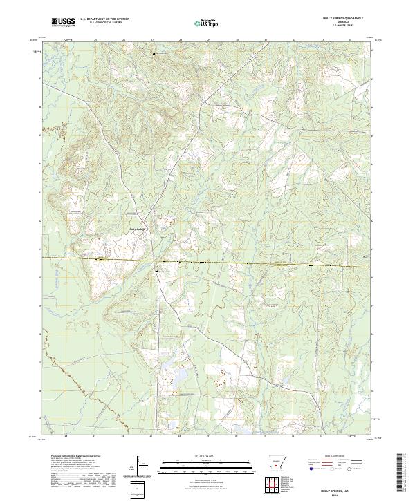
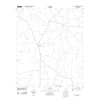
2024 Holly Springs
Ouachita County, AR
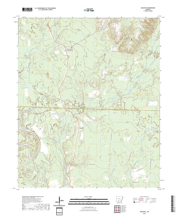
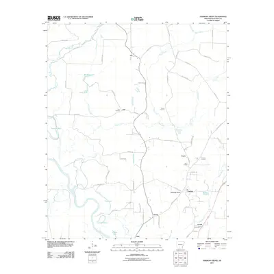
2024 Ouachita
Ouachita County, AR
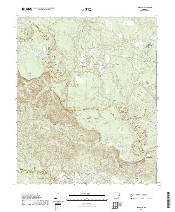
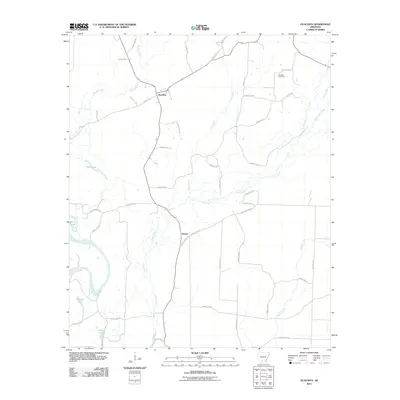
2024 Snow Hill
Ouachita County, AR
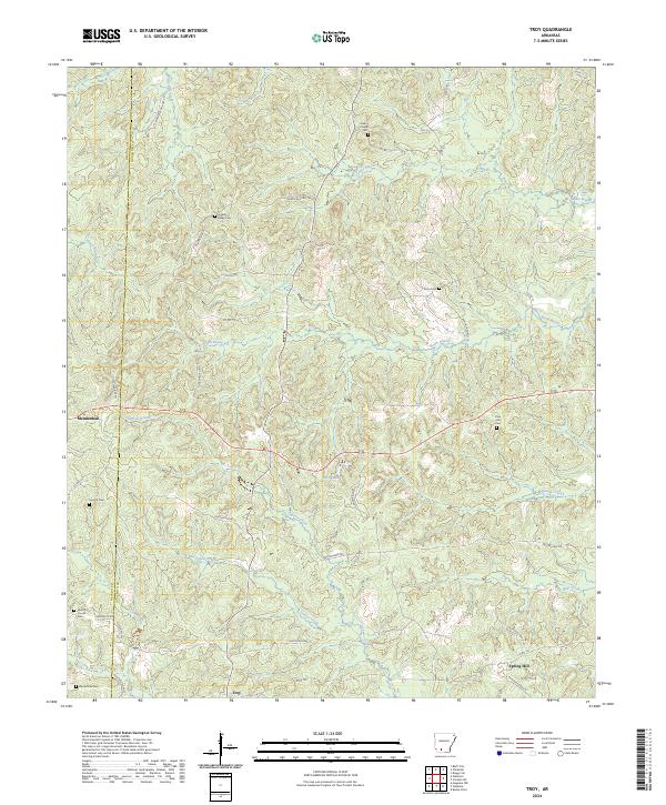
2024 Troy
Ouachita County, AR