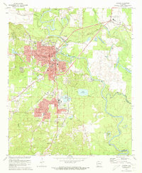
1971 Map of Camden
USGS Topo · Published 1973About this map
The Ouachita River winds through the heart of this region, shaping the industrial and residential development of Camden during the early 1970s. This survey illustrates a town deeply connected to its rail infrastructure, with the Missouri Pacific RR and St Louis Southwestern Ry intersecting near the city center. Significant neighborhood growth is evident in Fairview and Cullendale, where local life centered around institutions like Lincoln High Sch and the County Hospital.
Find a feature on this map
59 named features on this map. Tap any name to fly to it.
Don’t see what you’re looking for? This feature index may not catch every label — zoom into the map to look around manually.
Map Details
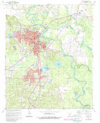
Editions of this 1971 Camden Map
2 editions found
Other maps of this area

1903 · Camden
USGS Topo · 1:125,000

1951 · Camden
USGS Topo · 1:24,000

1953 · El Dorado
USGS Topo · 1:250,000

1957 · El Dorado
USGS Topo · 1:250,000

1958 · El Dorado
USGS Topo · 1:250,000

1960 · El Dorado
USGS Topo · 1:250,000

1962 · Louann
USGS Topo · 1:24,000

1962 · Buena Vista
USGS Topo · 1:24,000

1962 · Snow Hill
USGS Topo · 1:24,000

1964 · Smackover
USGS Topo · 1:62,500