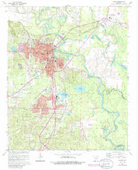
1971 Map of Camden
USGS Topo · Published 1986About this map
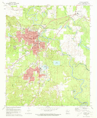
The Ouachita River defines the landscape of this Arkansas river town, winding past industrial sites and historical landmarks. The river's path is marked by numerous backwater lakes and bayous, including Fishers Lake, Hook Lake, and Webb Lake, illustrating the complex hydrology surrounding the city. Transportation patterns are shaped by the St Louis Southwestern and Missouri Pacific railroads, which served the core of Camden and the industrial southern suburb of Cullendale. Local history is anchored by sites such as the Courthouse and County Hospital, while the area's heritage is preserved at the Confederate Cem and Fort Southerland Park. The residential and industrial expansion into Fairview and Herbert reflects the mid-century growth of this regional hub, supported by the Harrell Field and local educational institutions like Fairview High Sch.
Find a feature on this map
47 named features on this map. Tap any name to fly to it.
Don’t see what you’re looking for? This feature index may not catch every label — zoom into the map to look around manually.
Map Details
Editions of this 1971 Camden Map
2 editions found
Other maps of this area

1903 · Camden
USGS Topo · 1:125,000

1951 · Camden
USGS Topo · 1:24,000

1953 · El Dorado
USGS Topo · 1:250,000

1957 · El Dorado
USGS Topo · 1:250,000

1958 · El Dorado
USGS Topo · 1:250,000

1960 · El Dorado
USGS Topo · 1:250,000

1962 · Louann
USGS Topo · 1:24,000

1962 · Buena Vista
USGS Topo · 1:24,000

1962 · Snow Hill
USGS Topo · 1:24,000

1964 · Smackover
USGS Topo · 1:62,500