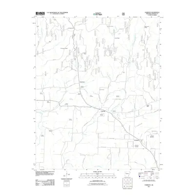
2011 Map of Harmony
USGS Topo · Published 2011About this map
Harmony and Woodland anchor this rural landscape in Johnson County, where the transition from agriculture to energy extraction is visible through the Linville Gas Field and Clarksville Gas Field. The map reveals a high density of family and community burial sites, including Zachary Cemetery, Naylor Cemetery, and Hogan Cemetery, which serve as vital markers for genealogical research. The terrain is defined by prominent ridges and gaps, such as Chinquapin Ridge and Yarbough Gap, which dictate the winding paths of rural routes like Co RD 30 and County RD 3201.
Find a feature on this map
78 named features on this map. Tap any name to fly to it.
Don’t see what you’re looking for? This feature index may not catch every label — zoom into the map to look around manually.
Map Details
Editions of this 2011 Harmony Map
This is the sole edition of this map. No revisions or reprints were ever made.
Other maps of this area

1887 · Magazine Mountain #1
USGS Topo · 1:62,500

1887 · Magazine Mountain
USGS Topo · 1:62,500

1888 · Dardanelle #2
USGS Topo · 1:62,500

1889 · Ozone
USGS Topo · 1:62,500

1890 · Magazine Mountain
USGS Topo · 1:125,000

1890 · Dardanelle
USGS Topo · 1:125,000

1906 · Batson
USGS Topo · 1:62,500

1934 · Ozone
USGS Topo · 1:62,500

1936 · Ozone
USGS Topo · 1:62,500

1956 · Russellville
USGS Topo · 1:250,000