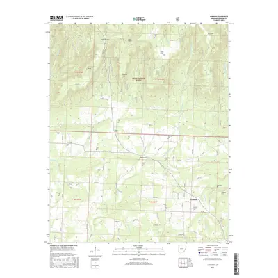
2017 Map of Harmony
USGS Topo · Published 2017About this map
Harmony serves as a central point of settlement in this northern Arkansas landscape, situated where several forks of Horsehead Cr converge. The area is notable for its high density of family and community burial grounds, including Zachary Cem, Ogilbie Cem, and McDaniel Cem, which provide significant points of interest for genealogical research. To the north, the terrain rises sharply into the Ozark National Forest, where prominent landforms like Chinquapin Ridge and Crawford Point overlook the drainages of Cove Cr and Little Spadra Cr. The southeastern portion of the map transitions toward the community of Woodland, featuring Stillwell Mtn and the Woodland Memorial Cem. This 2017 survey details a landscape where rural development is closely tied to the valleys between the ridges of the Ozarks.
Find a feature on this map
91 named features on this map. Tap any name to fly to it.
Don’t see what you’re looking for? This feature index may not catch every label — zoom into the map to look around manually.
Map Details
Editions of this 2017 Harmony Map
This is the sole edition of this map. No revisions or reprints were ever made.
Other maps of this area

1887 · Magazine Mountain #1
USGS Topo · 1:62,500

1887 · Magazine Mountain
USGS Topo · 1:62,500

1888 · Dardanelle #2
USGS Topo · 1:62,500

1889 · Ozone
USGS Topo · 1:62,500

1890 · Magazine Mountain
USGS Topo · 1:125,000

1890 · Dardanelle
USGS Topo · 1:125,000

1906 · Batson
USGS Topo · 1:62,500

1934 · Ozone
USGS Topo · 1:62,500

1936 · Ozone
USGS Topo · 1:62,500

1956 · Russellville
USGS Topo · 1:250,000