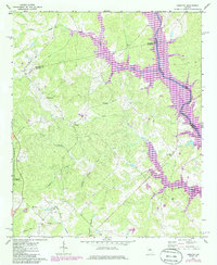
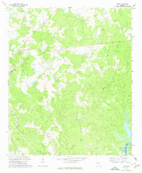
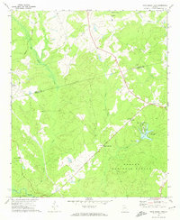
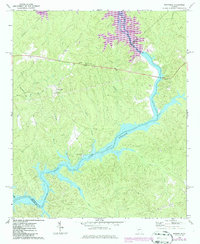
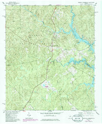
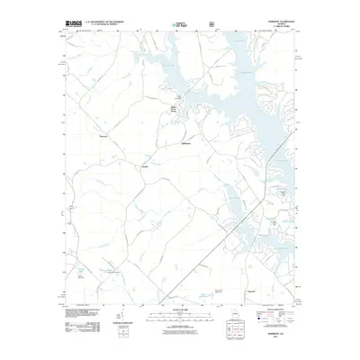
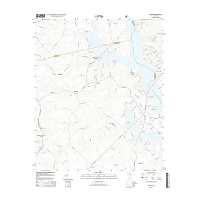
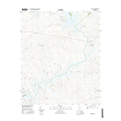
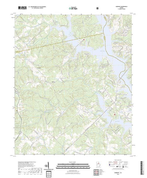
1972 Map of Harmony
USGS Topo · Published 1985About this map
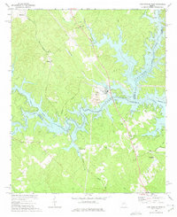
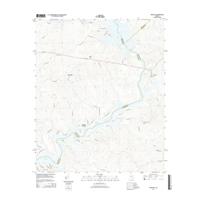
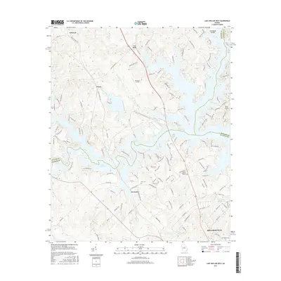
Lake Oconee and the Oconee River dominate the eastern landscape of this quadrangle, illustrating the transition of the river valley into a major reservoir. The map documents rural life in Putnam County, centered around small settlements like Harmony, Jefferson, and Rudden. This 1985 photorevised edition reflects significant land-use changes, particularly in the purple-shaded areas marking the expansion of water levels and updated woodland boundaries within the Oconee National Forest.
Find a feature on this map
30 named features on this map. Tap any name to fly to it.
Don’t see what you’re looking for? This feature index may not catch every label — zoom into the map to look around manually.
Map Details
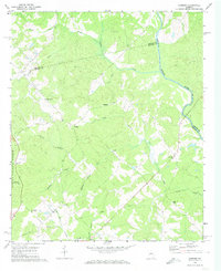
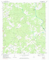
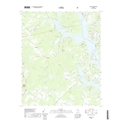
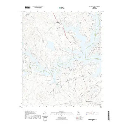
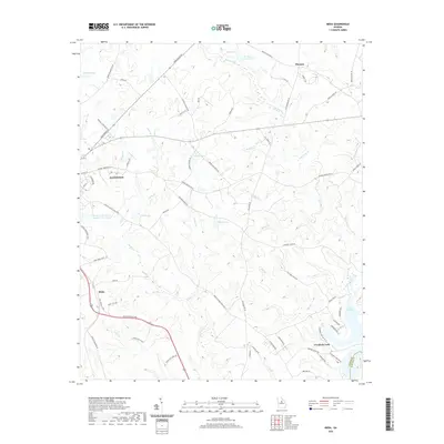
Editions of this 1972 Harmony Map
Historical Maps of Glades Cross-Roads Through Time
36 maps found
1972 Harmony
Putnam County, GA
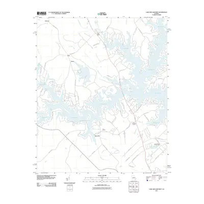
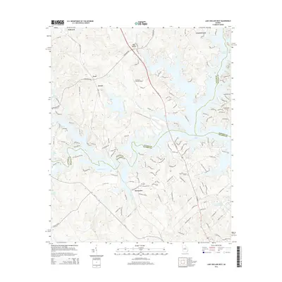
1972 Lake Sinclair West
Putnam County, GA
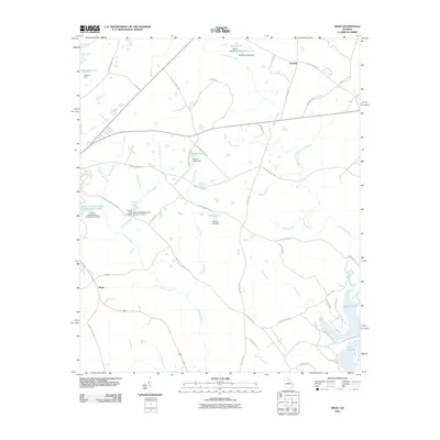
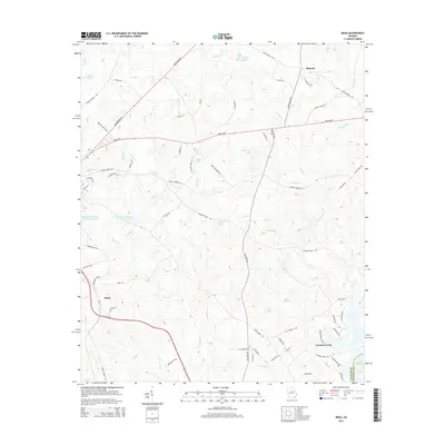
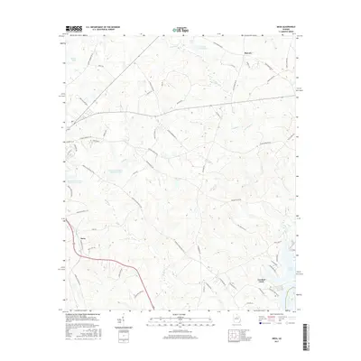
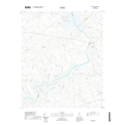
1972 Meda
Putnam County, GA
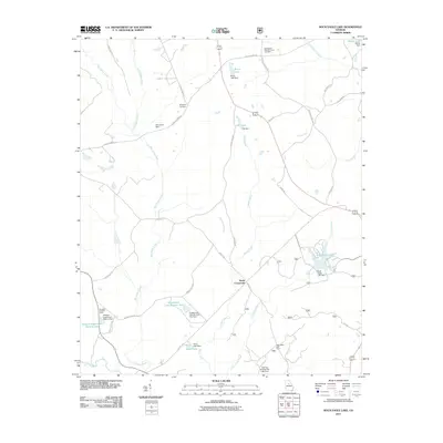
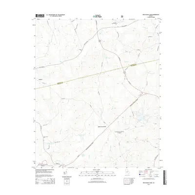
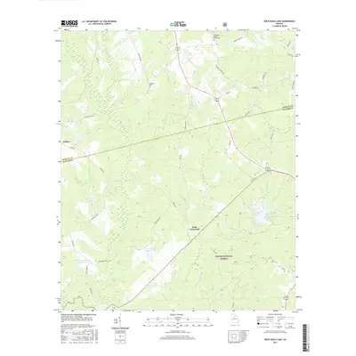
1972 Rock Eagle Lake
Putnam County, GA
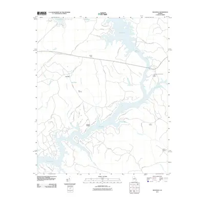
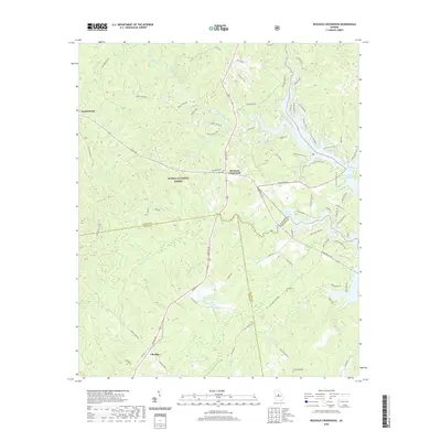
1972 Rockville
Putnam County, GA
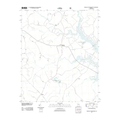
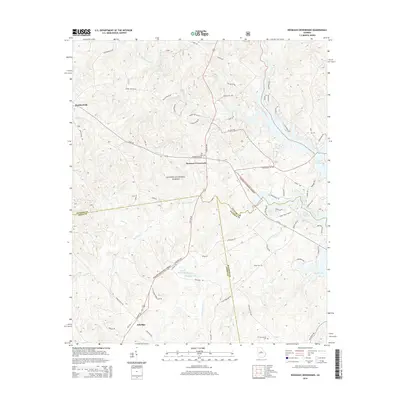
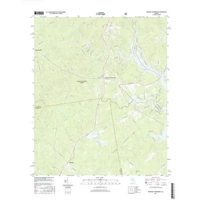
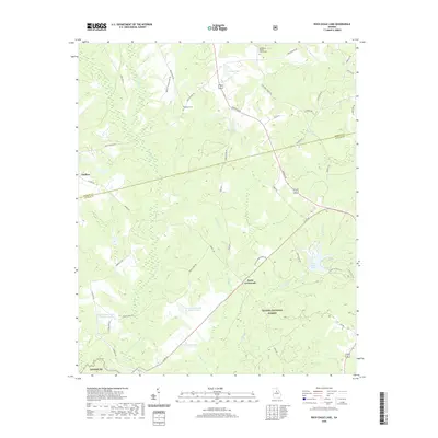
1978 Resseaus Crossroads
Putnam County, GA
2011 Harmony
Putnam County, GA
2011 Lake Sinclair West
Putnam County, GA
2011 Meda
Putnam County, GA
2011 Resseaus Crossroads
Putnam County, GA
2011 Rock Eagle Lake
Putnam County, GA
2011 Rockville
Putnam County, GA
2014 Harmony
Putnam County, GA
2014 Lake Sinclair West
Putnam County, GA
2014 Meda
Putnam County, GA
2014 Resseaus Crossroads
Putnam County, GA
2014 Rock Eagle Lake
Putnam County, GA
2014 Rockville
Putnam County, GA

2017 Harmony
Putnam County, GA
2017 Lake Sinclair West
Putnam County, GA
2017 Meda
Putnam County, GA
2017 Resseaus Crossroads
Putnam County, GA
2017 Rock Eagle Lake
Putnam County, GA
2017 Rockville
Putnam County, GA
2020 Harmony
Putnam County, GA
2020 Lake Sinclair West
Putnam County, GA
2020 Meda
Putnam County, GA
2020 Resseaus Crossroads
Putnam County, GA
2020 Rock Eagle Lake
Putnam County, GA
2020 Rockville
Putnam County, GA
2024 Harmony
Putnam County, GA
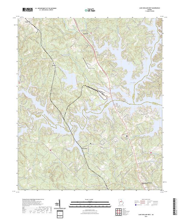
2024 Lake Sinclair West
Putnam County, GA
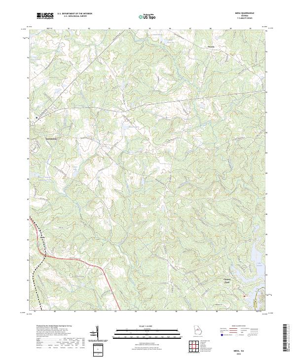
2024 Meda
Putnam County, GA
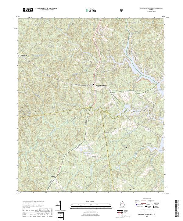
2024 Resseaus Crossroads
Putnam County, GA
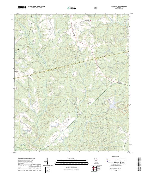
2024 Rock Eagle Lake
Putnam County, GA
2024 Rockville
Putnam County, GA