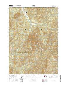
2017 Map of Harness Mountain
USGS Topo · Published 2017About this map
The Calapooya Divide serves as a prominent geographic spine in this 2017 study of the terrain along the Lane County and Douglas County border. This is a landscape defined by significant elevations and a dense network of watercourses, including the Big River and Little River. Human impact is etched into the topography through a system of timber and access roads such as London Weyerhaeuser and Big River Road, which navigate the steep rises of Harness Mountain and Cinnabar Mtn. The map preserves several small-scale historical markers, notably the Bemis Cem and Rouse Bridge near the northern boundary. These features, along with family-named peaks like Akerson Butte and Hobart Butte, provide essential anchor points for genealogists and local historians tracing the heritage of this timber-rich region of the Pacific Northwest.
Find a feature on this map
57 named features on this map. Tap any name to fly to it.
Don’t see what you’re looking for? This feature index may not catch every label — zoom into the map to look around manually.
Map Details
Editions of this 2017 Harness Mountain Map
This is the sole edition of this map. No revisions or reprints were ever made.
Other maps of this area

1897 · Roseburg
USGS Topo · 1:125,000

1900 · Roseburg
USGS Topo · 1:125,000

1935 · Lowell
USGS Topo · 1:96,000

1942 · Lowell
USGS Topo · 1:125,000

1954 · Anlauf
USGS Topo · 1:62,500

1954 · Glide
USGS Topo · 1:62,500

1955 · Mace Mtn
USGS Topo · 1:62,500

1955 · Culp Creek
USGS Topo · 1:62,500

1958 · Roseburg
USGS Topo · 1:250,000

1959 · Roseburg
USGS Topo · 1:250,000