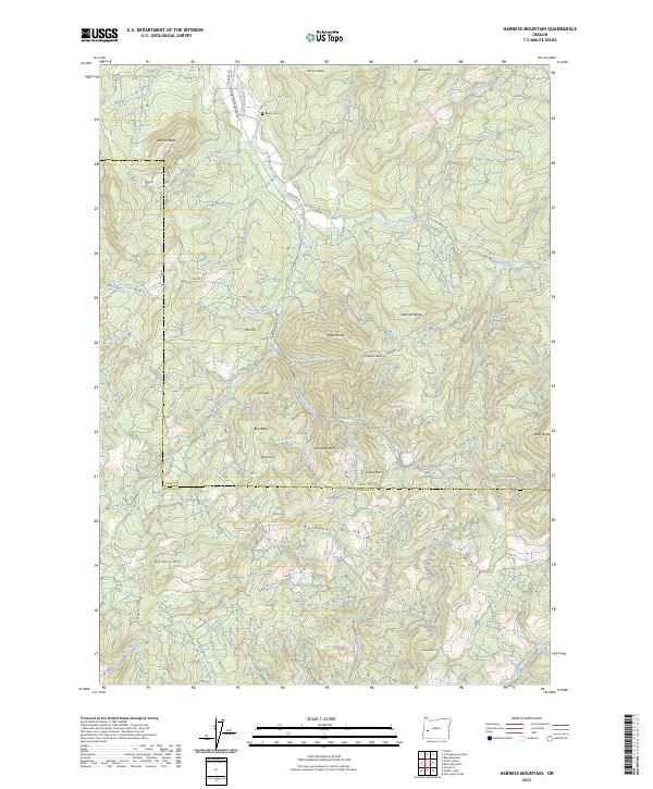
2023 Map of Harness Mountain
USGS Topo · Published 2023About this map
Bemis Cem sits on the northern edge of this high-relief landscape where the Lane Co Douglas Co line follows the prominent Calapooya Divide. The topography is dominated by a sequence of high points including Harness Mtn, Cinnabar Mtn, and Sevenmile Hill, defining the watershed between the north-flowing Coast Fork Willamette River and the southern North Fork Calapooya Creek.
Find a feature on this map
58 named features on this map. Tap any name to fly to it.
Don’t see what you’re looking for? This feature index may not catch every label — zoom into the map to look around manually.
Map Details
Editions of this 2023 Harness Mountain Map
This is the sole edition of this map. No revisions or reprints were ever made.
Other maps of this area

1897 · Roseburg
USGS Topo · 1:125,000

1900 · Roseburg
USGS Topo · 1:125,000

1935 · Lowell
USGS Topo · 1:96,000

1942 · Lowell
USGS Topo · 1:125,000

1954 · Anlauf
USGS Topo · 1:62,500

1954 · Glide
USGS Topo · 1:62,500

1955 · Mace Mtn
USGS Topo · 1:62,500

1955 · Culp Creek
USGS Topo · 1:62,500

1958 · Roseburg
USGS Topo · 1:250,000

1959 · Roseburg
USGS Topo · 1:250,000