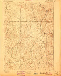
1896 Map of Harney Peak
USGS Topo · Published 1896About this map
Harney Peak towers over the landscape of the Black Hills in this late nineteenth-century survey, a period when the region was transitioning from a mining frontier to a more established territorial network. The Burlington and Missouri River railroad serves as the primary artery for the area, threading through the mountains to connect the settlements of Hill City, Custer, and Pringle. This rail corridor highlights the industrial and logistical focus of the era, providing a lifeline for remote outposts and local commerce.
Find a feature on this map
23 named features on this map. Tap any name to fly to it.
Don’t see what you’re looking for? This feature index may not catch every label — zoom into the map to look around manually.
Map Details
Editions of this 1896 Harney Peak Map
This is the sole edition of this map. No revisions or reprints were ever made.
Other maps of this area
1893 · Rapid
USGS Topo · 1:125,000
1894 · Deadwood
USGS Topo · 1:125,000
1894 · Hermosa
USGS Topo · 1:125,000
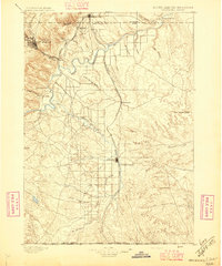
1896 · Oelrichs
USGS Topo · 1:125,000
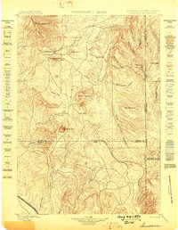
1898 · Sundance
USGS Topo · 1:125,000
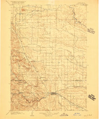
1898 · Rapid
USGS Topo · 1:125,000
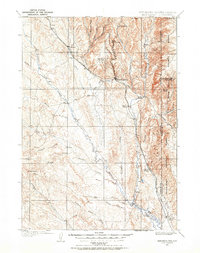
1899 · Newcastle
USGS Topo · 1:125,000
1900 · Oelrichs
USGS Topo · 1:125,000
1901 · Hermosa
USGS Topo · 1:125,000
1901 · Harney Peak
USGS Topo · 1:125,000