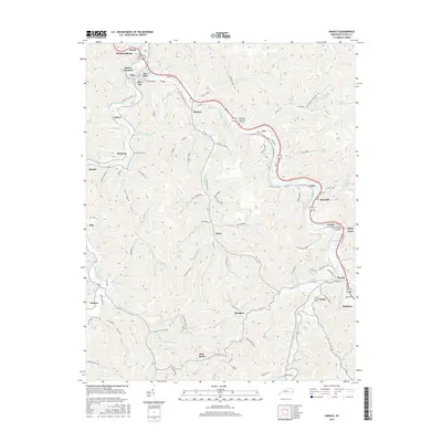
2016 Map of Harold
USGS Topo · Published 2016About this map
The Levisa Fork corridor defines the geography of this central Floyd County landscape, serving as the primary artery for settlement and industry. The C and O RR tracks parallel the river, connecting a dense string of communities including Prestonsburg, Beaver Junction, and Harold. This transport network supported a legacy of resource extraction and local commerce, evidenced by the numerous hollows and branches that feed into the main valley, such as Oklahoma Hollow and Pike-Floyd Hollow.
Find a feature on this map
113 named features on this map. Tap any name to fly to it.
Don’t see what you’re looking for? This feature index may not catch every label — zoom into the map to look around manually.
Map Details
Editions of this 2016 Harold Map
This is the sole edition of this map. No revisions or reprints were ever made.
Other maps of this area

1886 · Prestonsburg
USGS Topo · 1:125,000

1890 · Whitesburg
USGS Topo · 1:125,000

1892 · Whitesburg
USGS Topo · 1:125,000

1892 · Prestonsburg
USGS Topo · 1:125,000

1912 · Hindman
USGS Topo · 1:48,000

1914 · Laynesville
USGS Topo · 1:48,000

1914 · Vergie
USGS Topo · 1:48,000

1915 · Prestonsburg
USGS Topo · 1:62,500

1915 · Hindman
USGS Topo · 1:62,500

1916 · Harold
USGS Topo · 1:62,500