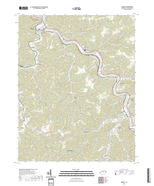
2022 Map of Harold
USGS Topo · Published 2022About this map
Levisa Fork and its winding tributaries dominate this portion of the Kentucky coalfields, where the narrow valley floors dictate the pattern of settlement and transportation. In this mountain landscape, small communities like Banner, Ivel, and Stanville are threaded along the river and the CSX Transportation rail line. The map highlights the concentration of local infrastructure in the north near Prestonsburg, including the confluence of Beaver Creek and the notable Davidson Memorial Gardens Cem. Deep in the hollows, family-named water bodies such as Akers Branch and Betsy Clark Branch suggest long-standing genealogical ties to the land. This 2022 survey captures the area's continued reliance on the valley corridors, where State Hwy 1426 and State Hwy 1428 navigate the steep terrain to connect isolated settlements like Blue Moon and Honaker to the larger river towns.
Find a feature on this map
123 named features on this map. Tap any name to fly to it.
Don’t see what you’re looking for? This feature index may not catch every label — zoom into the map to look around manually.
Map Details
Editions of this 2022 Harold Map
This is the sole edition of this map. No revisions or reprints were ever made.
Other maps of this area

1886 · Prestonsburg
USGS Topo · 1:125,000

1890 · Whitesburg
USGS Topo · 1:125,000

1892 · Whitesburg
USGS Topo · 1:125,000

1892 · Prestonsburg
USGS Topo · 1:125,000

1912 · Hindman
USGS Topo · 1:48,000

1914 · Laynesville
USGS Topo · 1:48,000

1914 · Vergie
USGS Topo · 1:48,000

1915 · Prestonsburg
USGS Topo · 1:62,500

1915 · Hindman
USGS Topo · 1:62,500

1916 · Harold
USGS Topo · 1:62,500