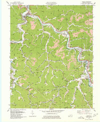
1979 Map of Harold
USGS Topo · Published 1979About this map
The Levisa Fork carves a deep path through Floyd County, serving as the primary corridor for both the Chesapeake and Ohio railroad and the region's main settlements. In the late 1970s, the landscape here is defined by a dense network of coal extraction, with numerous strip mines scarring the ridgelines above communities like Betsy Layne and Stanville. The map reveals a tight integration of industrial and civic life, where specialized features like industrial waste ponds near Hite exist alongside local landmarks such as the Drive-in Theater and the Chesapeake Golf Course.
Find a feature on this map
128 named features on this map. Tap any name to fly to it.
Don’t see what you’re looking for? This feature index may not catch every label — zoom into the map to look around manually.
Map Details
Editions of this 1979 Harold Map
This is the sole edition of this map. No revisions or reprints were ever made.
Other maps of this area

1886 · Prestonsburg
USGS Topo · 1:125,000

1890 · Whitesburg
USGS Topo · 1:125,000

1892 · Whitesburg
USGS Topo · 1:125,000

1892 · Prestonsburg
USGS Topo · 1:125,000

1912 · Hindman
USGS Topo · 1:48,000

1914 · Laynesville
USGS Topo · 1:48,000

1914 · Vergie
USGS Topo · 1:48,000

1915 · Prestonsburg
USGS Topo · 1:62,500

1915 · Hindman
USGS Topo · 1:62,500

1916 · Harold
USGS Topo · 1:62,500