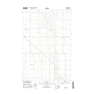
2016 Map of Harold
USGS Topo · Published 2016About this map
Hafslo Cem sits at the center of this Polk County landscape, marking the enduring presence of local heritage amidst a vast network of water management features. The area is defined by its rectilinear drainage system, including long stretches of the County Ditch Number One Hundred Fiftyeight and County Ditch Number One Hundred Five, which transformed these plains into productive agricultural land. Small settlements like Harold and Benoit anchor the rural grid, positioned along Co Rd 45 in a region where transportation and irrigation have dictated the patterns of human habitation. The meandering path of Burnham Cr in the southern sections provides a natural contrast to the engineered precision of the surrounding ditches, illustrating the historical effort to control and utilize the Minnesota prairie.
Find a feature on this map
24 named features on this map. Tap any name to fly to it.
Don’t see what you’re looking for? This feature index may not catch every label — zoom into the map to look around manually.
Map Details
Editions of this 2016 Harold Map
This is the sole edition of this map. No revisions or reprints were ever made.
Other maps of this area

1918 · Red Lake Falls
USGS Topo · 1:62,500

1919 · Beltrami
USGS Topo · 1:62,500

1952 · Red Lake Falls
USGS Topo · 1:62,500

1952 · Grand Forks
USGS Topo · 1:250,000

1953 · Crookston
USGS Topo · 1:62,500

1956 · Grand Forks
USGS Topo · 1:250,000

1964 · Beltrami
USGS Topo · 1:24,000

1964 · Greenview
USGS Topo · 1:24,000

1965 · Dugdale
USGS Topo · 1:24,000

1965 · Fertile
USGS Topo · 1:24,000