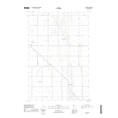
2019 Map of Harold
USGS Topo · Published 2019About this map
Hafslo Cem sits at the center of this Polk County landscape, a marker of the local ancestry in this section of the Red River Valley. The terrain is characterized by an extensive network of drainage infrastructure, including the long reaches of County Ditch Number One Hundred Forty and County Ditch Number One Hundred Fiftyeight, which transformed this low-lying region into productive agricultural land. The diagonal route of the Agassiz Trail cuts across the township grid, following the ancient shoreline of a prehistoric glacial lake. Small rural centers like Benoit and Harold anchor the intersection of county roads, while the southern portion of the sheet is drained by the winding course of Burnham Cr. The map preserves the 19th-century Public Land Survey System boundaries, showing the precise division of T149N and T148N across the prairie.
Find a feature on this map
26 named features on this map. Tap any name to fly to it.
Don’t see what you’re looking for? This feature index may not catch every label — zoom into the map to look around manually.
Map Details
Editions of this 2019 Harold Map
This is the sole edition of this map. No revisions or reprints were ever made.
Other maps of this area

1918 · Red Lake Falls
USGS Topo · 1:62,500

1919 · Beltrami
USGS Topo · 1:62,500

1952 · Red Lake Falls
USGS Topo · 1:62,500

1952 · Grand Forks
USGS Topo · 1:250,000

1953 · Crookston
USGS Topo · 1:62,500

1956 · Grand Forks
USGS Topo · 1:250,000

1964 · Beltrami
USGS Topo · 1:24,000

1964 · Greenview
USGS Topo · 1:24,000

1965 · Dugdale
USGS Topo · 1:24,000

1965 · Fertile
USGS Topo · 1:24,000