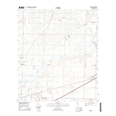
1934 Map of Harold
USGS Topo · Published 1965About this map
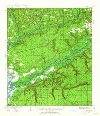
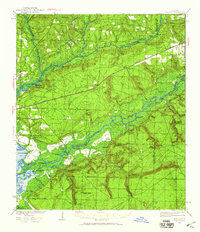
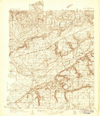
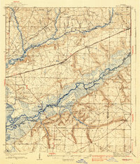
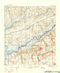
The Blackwater River and Yellow River carve through the panhandle interior of Santa Rosa County in this mid-1930s survey. The landscape is defined by the logistics of the timber and transport era, centered on the Louisville and Nashville railroad corridor which passes through the settlement of Harold. Along the riverbanks, numerous landings like Flowers Field Landing and Race Track Landing indicate a legacy of river-based commerce and travel. Rural life is anchored by local congregations at Pleasant Home Ch, Welcome Ch, and Hickory Hammock Ch. Further south, the Tallahassee Base Line serves as a critical surveying anchor for the region. Family history is etched into the terrain at the Old Land Place and Old Whitmier Place, while the Kelly Mill and several fire towers, including the Milligan Lookout Tower, reflect the local industrial and forestry management of the period.
Find a feature on this map
72 named features on this map. Tap any name to fly to it.
Don’t see what you’re looking for? This feature index may not catch every label — zoom into the map to look around manually.
Map Details
Editions of this 1934 Harold Map
3 editions found
Historical Maps of Broxson Through Time
10 maps found
1934 Harold
Santa Rosa County, FL
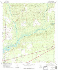
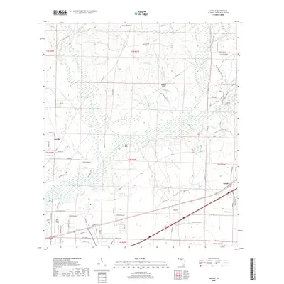
1937 Harold
Santa Rosa County, FL
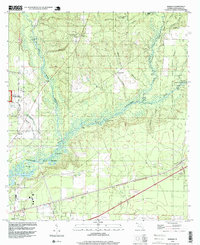
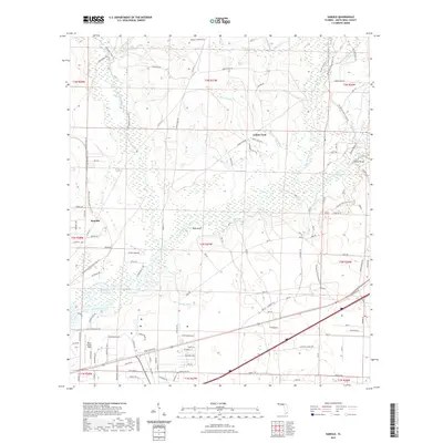
1938 Harold
Santa Rosa County, FL
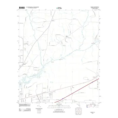
1973 Harold
Santa Rosa County, FL
1994 Harold
Santa Rosa County, FL
2012 Harold
Santa Rosa County, FL
2015 Harold
Santa Rosa County, FL
2018 Harold
Santa Rosa County, FL
2021 Harold
Santa Rosa County, FL
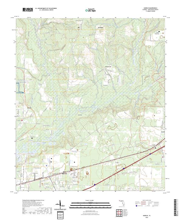
2024 Harold
Santa Rosa County, FL