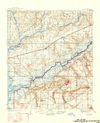
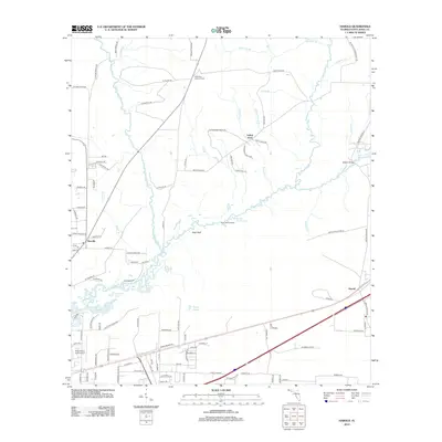
1938 Map of Harold
USGS Topo · Published 1954About this map
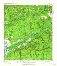
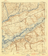
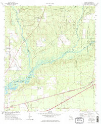
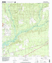
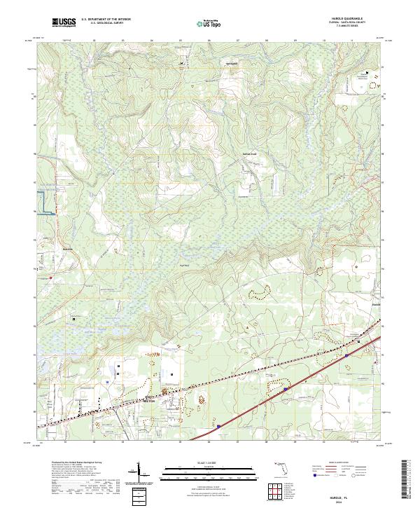
Blackwater River and Yellow River dictate the geography of this Florida panhandle region, where timber and transit once drove the local economy. Small settlements and family-named landmarks like Broxson and the Old Whitmier Place are scattered across the lowlands between the river basins. The landscape is dotted with several small rural congregations, including Pleasant Home Ch and Welcome Ch, serving the isolated farming and logging communities of the 1930s.
Find a feature on this map
119 named features on this map. Tap any name to fly to it.
Don’t see what you’re looking for? This feature index may not catch every label — zoom into the map to look around manually.
Map Details
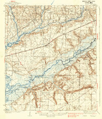
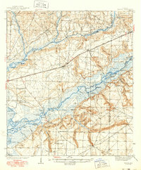
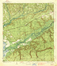
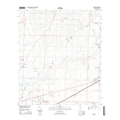
Editions of this 1938 Harold Map
4 editions found
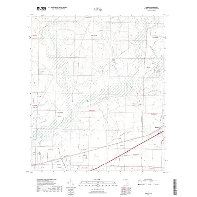
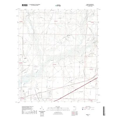
Historical Maps of Broxson Through Time
10 maps found
1934 Harold
Santa Rosa County, FL
1937 Harold
Santa Rosa County, FL
1938 Harold
Santa Rosa County, FL
1973 Harold
Santa Rosa County, FL
1994 Harold
Santa Rosa County, FL
2012 Harold
Santa Rosa County, FL
2015 Harold
Santa Rosa County, FL
2018 Harold
Santa Rosa County, FL
2021 Harold
Santa Rosa County, FL
2024 Harold
Santa Rosa County, FL