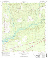
1973 Map of Harold
USGS Topo · Published 1976About this map
The Blackwater River and Big Coldwater Creek dominate this 1973 survey of Santa Rosa County, where the sprawling Blackwater River State Forest preserves a landscape of complex waterways and wetlands. The river system includes notable basins like Manning Basin and Clear Basin, alongside distinctive landmarks such as High Bluff and Double Bluff Lake. Civil and military infrastructure is well-defined, ranging from the Whiting Field U S Naval Air Sta in the west to the Louisville and Nashville rail line passing through Harold. The map reveals the era's transport network through features like the Old Railroad Grade and the Coldwater Lookout Tower, while local spiritual and community centers are anchored by Pleasant Home Ch and Faith Chapel. A legacy of industrial use is visible in the various sandpits and gravel pits scattered near the rail corridors.
Find a feature on this map
43 named features on this map. Tap any name to fly to it.
Don’t see what you’re looking for? This feature index may not catch every label — zoom into the map to look around manually.
Map Details
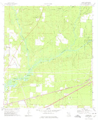
Editions of this 1973 Harold Map
2 editions found
Other maps of this area

1920 · Milton
USGS Topo · 1:62,500

1934 · Harold
USGS Topo · 1:62,500

1937 · Harold
USGS Topo · 1:62,500

1938 · Harold
USGS Topo · 1:62,500

1941 · Milton
USGS Topo · 1:62,500

1943 · Milton
USGS Topo · 1:62,500

1943 · Jay
USGS Topo · 1:62,500

1948 · Munson
USGS Topo · 1:62,500

1950 · Munson
USGS Topo · 1:62,500

1957 · Pensacola
USGS Topo · 1:250,000