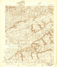
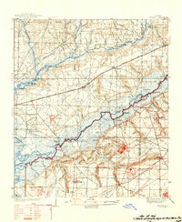
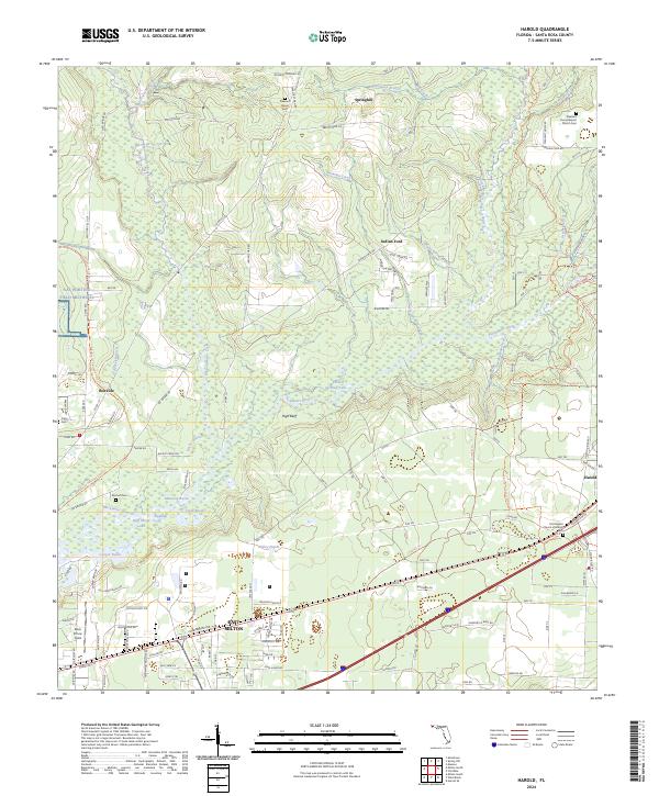
1934 Map of Harold
USGS Topo · Published 1934About this map
The Blackwater River and Yellow River dominate this West Florida landscape, carving through the dense pine woods during the mid-1930s. The settlement of Harold serves as a central point along the Louisville and Nashville Railroad, which runs parallel to State Highway No 1. Much of the southern and eastern territory is occupied by the Choctawhatchee National Forest, a region defined by complex creek systems and isolated landmarks like the Milligan Fire Tower. Along the riverbanks, numerous named landings such as Butter Landing and Malcolm Landing point to the importance of water-based transit and timber hauling. Genealogists can find several rural places of worship including Hickory Hammock Baptist Ch and Pleasant Home Ch, while the southern shoreline at Blackwater Bay reveals the location of the Escribano Plantation.
Find a feature on this map
75 named features on this map. Tap any name to fly to it.
Don’t see what you’re looking for? This feature index may not catch every label — zoom into the map to look around manually.
Map Details
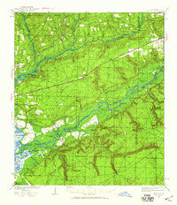
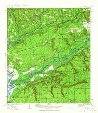
Editions of this 1934 Harold Map
3 editions found
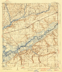
Historical Maps of Broxson Through Time
10 maps found
1934 Harold
Santa Rosa County, FL
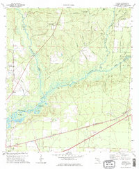
1937 Harold
Santa Rosa County, FL
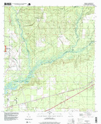
1938 Harold
Santa Rosa County, FL
1973 Harold
Santa Rosa County, FL
1994 Harold
Santa Rosa County, FL
2012 Harold
Santa Rosa County, FL
2015 Harold
Santa Rosa County, FL
2018 Harold
Santa Rosa County, FL
2021 Harold
Santa Rosa County, FL
2024 Harold
Santa Rosa County, FL