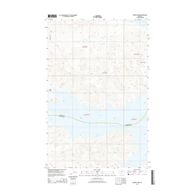
2014 Map of Harper Camp
USGS Topo · Published 2014About this map
Fort Peck Lake dominates the southern reaches of this landscape, where the waters of the Missouri River meet the intricate breaks of Valley and Garfield counties. The topography is defined by the prominent Harper Ridge, which serves as a central spine between the lake and the northern drainages of Carpenter Cr. This 2014 survey captures the area as a remote stretch of Montana high country, where human presence is sparse and concentrated at locales like Harper Camp and Cabin Coulee. A single primary artery, Harper Ridge Rd, provides access along the high ground, tracing the divide above the deeply eroded coulees that feed into the reservoir. The map illustrates the complex intersection of township boundaries and the meandering shoreline, highlighting the stark transition from the upland ridges to the submerged river valley.
Find a feature on this map
12 named features on this map. Tap any name to fly to it.
Don’t see what you’re looking for? This feature index may not catch every label — zoom into the map to look around manually.
Map Details
Editions of this 2014 Harper Camp Map
This is the sole edition of this map. No revisions or reprints were ever made.
Other maps of this area

1954 · Jordan
USGS Topo · 1:250,000

1956 · Jordan
USGS Topo · 1:250,000

1958 · Jordan
USGS Topo · 1:250,000

1958 · Collins Ranch
USGS Topo · 1:62,500

1958 · Maloney Hill
USGS Topo · 1:62,500

1964 · Jordan
USGS Topo · 1:250,000

1971 · Hell Hollow
USGS Topo · 1:24,000

1971 · Trumbo Ranch
USGS Topo · 1:24,000

1971 · Wagon Coulee
USGS Topo · 1:24,000

1971 · Harper Camp
USGS Topo · 1:24,000