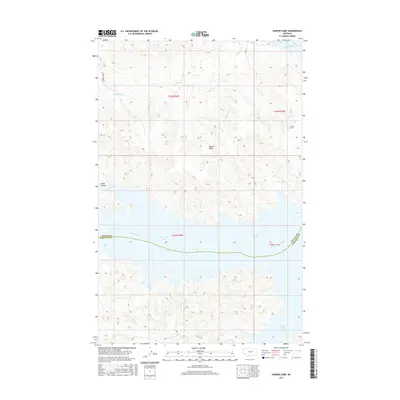
2017 Map of Harper Camp
USGS Topo · Published 2017About this map
Fort Peck Lake dominates the southern landscape of this Valley County quadrangle, where the inundated waters of the Missouri River create a complex shoreline of inlets and bays. The topography is defined by the high ground of Harper Ridge, which overlooks the drainage of Carpenter Cr as it flows toward the reservoir. In the northeast corner, Harper Camp serves as a small human footprint in an otherwise sparsely populated area of northern Montana. The transition from the high ridges down to Snow Creek Bay illustrates the dramatic elevation changes caused by the damming of the river valley. This map provides a detailed view of the interaction between the water's edge and the high plains, showing the intricate network of coulees such as Cabin Coulee that carve into the local terrain.
Find a feature on this map
12 named features on this map. Tap any name to fly to it.
Don’t see what you’re looking for? This feature index may not catch every label — zoom into the map to look around manually.
Map Details
Editions of this 2017 Harper Camp Map
This is the sole edition of this map. No revisions or reprints were ever made.
Other maps of this area

1954 · Jordan
USGS Topo · 1:250,000

1956 · Jordan
USGS Topo · 1:250,000

1958 · Jordan
USGS Topo · 1:250,000

1958 · Collins Ranch
USGS Topo · 1:62,500

1958 · Maloney Hill
USGS Topo · 1:62,500

1964 · Jordan
USGS Topo · 1:250,000

1971 · Hell Hollow
USGS Topo · 1:24,000

1971 · Trumbo Ranch
USGS Topo · 1:24,000

1971 · Wagon Coulee
USGS Topo · 1:24,000

1971 · Harper Camp
USGS Topo · 1:24,000