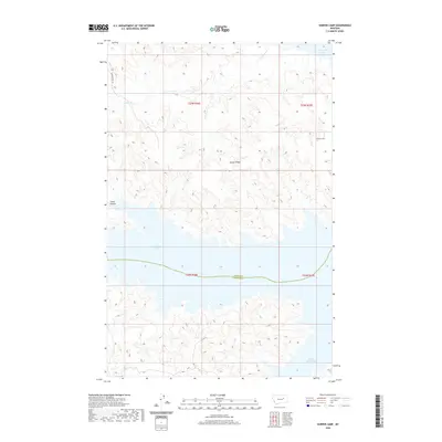
2020 Map of Harper Camp
USGS Topo · Published 2020About this map
Fort Peck Lake dominates the southern half of this landscape, its expansive waters reaching into the intricate drainages of the Missouri River breaks. The topography is defined by the sharp transition from the elevated Harper Ridge down to the flooded coulees and bays of the reservoir, including Snow Creek Bay at the southeastern edge. This modern digital survey by the U.S. Geological Survey captures the remote character of the boundary between Valley and Garfield counties, where the high prairie meets the water.
Find a feature on this map
12 named features on this map. Tap any name to fly to it.
Don’t see what you’re looking for? This feature index may not catch every label — zoom into the map to look around manually.
Map Details
Editions of this 2020 Harper Camp Map
This is the sole edition of this map. No revisions or reprints were ever made.
Other maps of this area

1954 · Jordan
USGS Topo · 1:250,000

1956 · Jordan
USGS Topo · 1:250,000

1958 · Jordan
USGS Topo · 1:250,000

1958 · Collins Ranch
USGS Topo · 1:62,500

1958 · Maloney Hill
USGS Topo · 1:62,500

1964 · Jordan
USGS Topo · 1:250,000

1971 · Hell Hollow
USGS Topo · 1:24,000

1971 · Trumbo Ranch
USGS Topo · 1:24,000

1971 · Wagon Coulee
USGS Topo · 1:24,000

1971 · Harper Camp
USGS Topo · 1:24,000