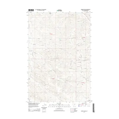
2014 Map of Harper Coulee
USGS Topo · Published 2014About this map
Klein serves as the primary point of settlement in this northern Musselshell County landscape, where the terrain is defined by an intricate network of drainages and coulees. The map details the winding course of Hay Coulee and Harper Coulee, which cut through the high plains topography toward the north and west. Water resources in this arid cattle-country environment are marked by features like Thompsons Water Hole, a vital landmark for local land use and ranching history. The drainage patterns of Goulding Cr and Halfbreed Cr further illustrate the watershed's complexity, providing a clear view of the natural corridors that have influenced movement and settlement in this portion of Montana since the early ranching era.
Find a feature on this map
6 named features on this map. Tap any name to fly to it.
Don’t see what you’re looking for? This feature index may not catch every label — zoom into the map to look around manually.
Map Details
Editions of this 2014 Harper Coulee Map
This is the sole edition of this map. No revisions or reprints were ever made.
Other maps of this area

1954 · Roundup
USGS Topo · 1:250,000

1958 · Roundup
USGS Topo · 1:250,000

1979 · Roundup
USGS Topo · 1:100,000

1979 · Harper Coulee
USGS Topo · 1:24,000

1979 · Elso
USGS Topo · 1:24,000

1979 · Hay Basin NE
USGS Topo · 1:24,000

1979 · Horsethief Creek
USGS Topo · 1:24,000

1979 · Gage
USGS Topo · 1:24,000

1979 · Roundup
USGS Topo · 1:24,000

1980 · Signal Mountain
USGS Topo · 1:24,000