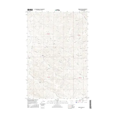
2017 Map of Harper Coulee
USGS Topo · Published 2017About this map
Harper Coulee and its neighboring ravines define this corner of Musselshell County, where the high-altitude terrain of the Bull Mountains begins its descent. The landscape is characterized by a dense network of seasonal drainages and named coulees, including Hay Coulee, Lamott Coulee, and Road Coulee, which create a complex topographical pattern for ranchers and land managers. Remote water sources such as Thompsons Water Hole are critical landmarks in this arid environment, often joined by small ephemeral streams like Goulding Creek and Bullbreed Creek. While largely unpopulated, the area is accessible via a labyrinth of primitive roads and named paths such as Fossil Trail, Stampede Trail, and Roxy Trail. These routes follow the natural contours of the land, weaving between features like Grassy Flat and the rising slopes of the range.
Find a feature on this map
52 named features on this map. Tap any name to fly to it.
Don’t see what you’re looking for? This feature index may not catch every label — zoom into the map to look around manually.
Map Details
Editions of this 2017 Harper Coulee Map
This is the sole edition of this map. No revisions or reprints were ever made.
Other maps of this area

1954 · Roundup
USGS Topo · 1:250,000

1958 · Roundup
USGS Topo · 1:250,000

1979 · Roundup
USGS Topo · 1:100,000

1979 · Harper Coulee
USGS Topo · 1:24,000

1979 · Elso
USGS Topo · 1:24,000

1979 · Hay Basin NE
USGS Topo · 1:24,000

1979 · Horsethief Creek
USGS Topo · 1:24,000

1979 · Gage
USGS Topo · 1:24,000

1979 · Roundup
USGS Topo · 1:24,000

1980 · Signal Mountain
USGS Topo · 1:24,000