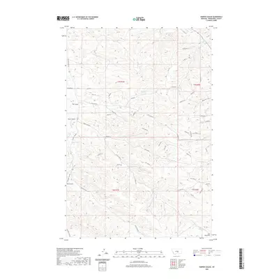
2020 Map of Harper Coulee
USGS Topo · Published 2020About this map
Bull Mountains topography dominates this section of Musselshell County, where a network of seasonal watercourses has carved a complex series of drainages into the high plains. The landscape is defined by its coulees, including Harper Coulee, Hay Coulee, and Road Coulee, which serve as the primary geographical markers in this semi-arid environment. Human presence is evidenced by a detailed grid of rural roads and trails, such as Hay Coulee Rd and Secor Rd, that navigate the varying elevations. The inclusion of Thompsons Water Hole and the expanse of Grassy Flat indicates the importance of specific water sources and grazing lands to the local geography. This survey provides a clear view of how land use and transit have been adapted to the deep incisions of Lamott Coulee and Goulding Cr within the larger mountain foothills.
Find a feature on this map
51 named features on this map. Tap any name to fly to it.
Don’t see what you’re looking for? This feature index may not catch every label — zoom into the map to look around manually.
Map Details
Editions of this 2020 Harper Coulee Map
This is the sole edition of this map. No revisions or reprints were ever made.
Other maps of this area

1954 · Roundup
USGS Topo · 1:250,000

1958 · Roundup
USGS Topo · 1:250,000

1979 · Roundup
USGS Topo · 1:100,000

1979 · Harper Coulee
USGS Topo · 1:24,000

1979 · Elso
USGS Topo · 1:24,000

1979 · Hay Basin NE
USGS Topo · 1:24,000

1979 · Horsethief Creek
USGS Topo · 1:24,000

1979 · Gage
USGS Topo · 1:24,000

1979 · Roundup
USGS Topo · 1:24,000

1980 · Signal Mountain
USGS Topo · 1:24,000