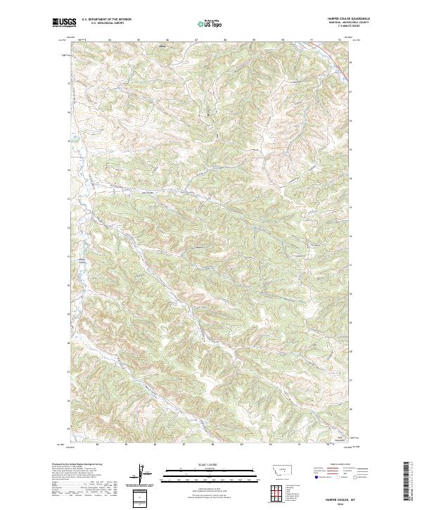
2024 Map of Harper Coulee
USGS Topo · Published 2024About this map
The settlement of Klein sits at the northern edge of this landscape, where the topography begins its descent toward the Musselshell valley. This modern survey reveals a complex network of drainage systems cut through the Bull Mountains, defined by prominent landforms like Harper Coulee and Hay Coulee. The terrain is marked by a transition from high ridges such as Hilltop to deep-cut waterways like Goulding Creek.
Find a feature on this map
48 named features on this map. Tap any name to fly to it.
Don’t see what you’re looking for? This feature index may not catch every label — zoom into the map to look around manually.
Map Details
Editions of this 2024 Harper Coulee Map
This is the sole edition of this map. No revisions or reprints were ever made.
Other maps of this area

1954 · Roundup
USGS Topo · 1:250,000

1958 · Roundup
USGS Topo · 1:250,000

1979 · Roundup
USGS Topo · 1:100,000

1979 · Harper Coulee
USGS Topo · 1:24,000

1979 · Elso
USGS Topo · 1:24,000

1979 · Hay Basin NE
USGS Topo · 1:24,000

1979 · Horsethief Creek
USGS Topo · 1:24,000

1979 · Gage
USGS Topo · 1:24,000

1979 · Roundup
USGS Topo · 1:24,000

1980 · Signal Mountain
USGS Topo · 1:24,000